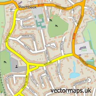
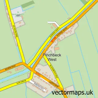
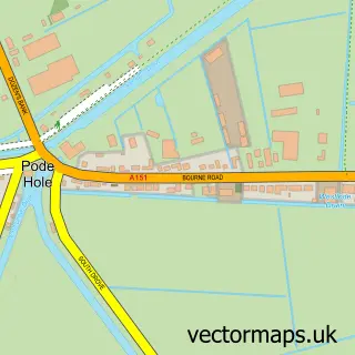
This Crossgate street map is a detailed vector street map covering a 750m x 750m area. Select a larger area to create and download your own vector street map of Crossgate.
The 750-metre map sample for Crossgate covers 244 mapped buildings and approximately 11.8 km of road detail, of which 18 named roads are named. The immediate area includes 1 MOT station, with 10 within 2 miles. The wider area around Crossgate features 1 food and drink venue. To create a larger or custom map of Crossgate, the map builder lets you define your own coverage area and download editable SVG, PDF and PNG files.
Create a larger editable map of Crossgate
Choose any area you need and generate a high-quality vector map instantly. Perfect for print, planning, design, business and personal use.

This Crossgate street map in Lincolnshire is available as downloadable SVG, PDF and PNG map files, or as a printed map for planning, business, display, education, local information and design work. You can also create a larger custom map area using the map selector.
What this Crossgate map sample shows
Crossgate lies within Pinchbeck Cp parish, part of Pinchbeck And Surfleet ward in the South Holland District local authority area. The postcode geography for this area includes the PE postcode area, the PE11 postcode district and the PE11 3 postcode sector. Residents fall under the Nhs Lincolnshire Integrated Care Board for NHS services.
Local features near Crossgate
Within 2 milesAmenities and services in and around Crossgate.
Administrative and postcode information for Crossgate
Crossgate lies within Pinchbeck Cp parish, part of Pinchbeck And Surfleet ward in the South Holland District local authority area. The postcode geography for this area includes the PE postcode area, the PE11 postcode district and the PE11 3 postcode sector. Residents fall under the Nhs Lincolnshire Integrated Care Board for NHS services.
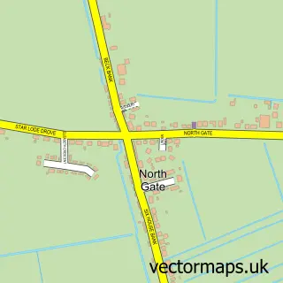
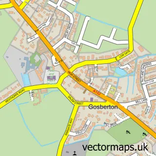
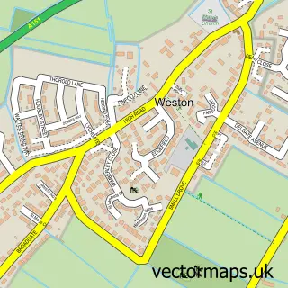
Nearby street map samples around Crossgate
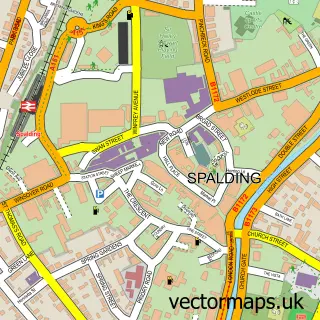

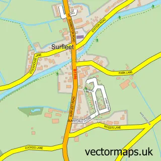
More street maps in Lincolnshire
750 metre map area coverage
Boundary, postcode and point of interest information for the 750m x 750m rectangle centred on this sample map.
Boundaries containing map centre
Constituency: South Holland and The Deepings Co Const
County: Lincolnshire County
District: South Holland District
Icb: NHS Lincolnshire ICB
Parish: Pinchbeck CP
Police Force: lincolnshire
Postcode District: PE11
Postcode Sector: PE11 3
Ward: Pinchbeck and Surfleet Ward
Nearby boundaries intersecting sample
Postcode Sector: PE11 4
Postcode coverage
POI category counts
Automotive Repair: 2
Alternative Medicine: 1
Coffee Shop: 1
Community Services Non Profits: 1
Contractor: 1
Cosmetic And Beauty Supplies: 1
Environmental Testing: 1
Equestrian Facility: 1
Fence And Gate Sales Service: 1
Food Beverage Service Distribution: 1
Sample points of interest
- Natural Therapeutics
- DG Auto Repair Services
- Motortech
- Something Special at Birchgrove
- Haemochromatosis UK
- Roger M Lambert
- SBB M
- Stone Asbestos Ltd.
- Bettertack
- Glen Fencing
- AP Potatoes
- Roger M. Lambert
Create a larger editable map of Crossgate
This sample shows only a 750 metre area. To create a larger map of Crossgate, use our map builder to choose your own coverage area, add titles and download editable SVG, PDF and PNG files.
Create a custom map of Crossgate