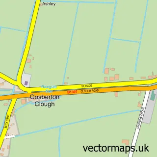
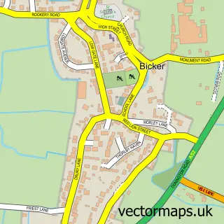
This Gosberton street map is a detailed vector street map covering a 750m x 750m area. Select a larger area to create and download your own vector street map of Gosberton.
The 750-metre map sample for Gosberton covers 356 mapped buildings and approximately 14.5 km of road detail, of which 25 named roads are named. The immediate area includes 1 school and 1 GP surgery. To create a larger or custom map of Gosberton, the map builder lets you define your own coverage area and download editable SVG, PDF and PNG files.
Create a larger editable map of Gosberton
Choose any area you need and generate a high-quality vector map instantly. Perfect for print, planning, design, business and personal use.

This Gosberton street map in Lincolnshire is available as downloadable SVG, PDF and PNG map files, or as a printed map for planning, business, display, education, local information and design work. You can also create a larger custom map area using the map selector.
What this Gosberton map sample shows
Gosberton lies within Gosberton Cp parish, part of Donington, Quadring And Gosberton ward in the South Holland District local authority area. The postcode geography for this area includes the PE postcode area, the PE11 postcode district and the PE11 4 postcode sector. Residents fall under the Nhs Lincolnshire Integrated Care Board for NHS services.
Local features near Gosberton
Within 2 milesAmenities and services in and around Gosberton.
Administrative and postcode information for Gosberton
The local authority covering Gosberton is South Holland District, within the county of Lincolnshire. The settlement lies within Donington, Quadring And Gosberton ward and Gosberton Cp civil parish. The PE11 postcode district and PE11 4 postcode sector serve the immediate area. NHS provision in the area is delivered through United Lincolnshire Hospitals Nhs Trust.
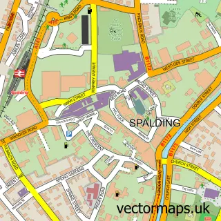
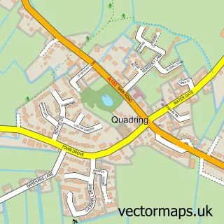
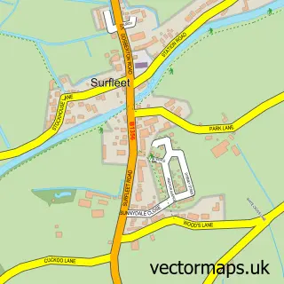
Nearby street map samples around Gosberton

More street maps in Lincolnshire
750 metre map area coverage
Boundary, postcode and point of interest information for the 750m x 750m rectangle centred on this sample map.
Boundaries containing map centre
Constituency: South Holland and The Deepings Co Const
County: Lincolnshire County
District: South Holland District
Icb: NHS Lincolnshire ICB
Parish: Gosberton CP
Police Force: lincolnshire
Postcode District: PE11
Postcode Sector: PE11 4
Ward: Donington, Quadring and Gosberton Ward
Nearby boundaries intersecting sample
No additional intersecting boundaries found.
Postcode coverage
POI category counts
Church Cathedral: 3
Post Office: 3
Building Supply Store: 2
Butcher Shop: 2
Convenience Store: 2
Anglican Church: 1
Appliance Repair Service: 1
Bank Credit Union: 1
Beauty Salon: 1
Beverage Store: 1
Sample points of interest
- St Peter & St Paul's Church, Gosberton
- Pods Traders Dyson Sales and Repair
- Nationwide
- Tangles Hair Design
- Co-op Gosberton
- Complete Weed Control
- T Houghton
- Clarke's Bar & Restaurant
- Grange Farm Butchery Ltd
- Trevor Sharpe
- Unity Carpentry
- Sharpe's Hog Roast
Create a larger editable map of Gosberton
This sample shows only a 750 metre area. To create a larger map of Gosberton, use our map builder to choose your own coverage area, add titles and download editable SVG, PDF and PNG files.
Create a custom map of Gosberton