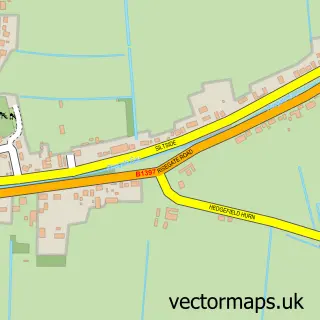
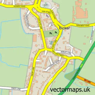
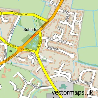
This Quadring street map is a detailed vector street map covering a 750m x 750m area. Select a larger area to create and download your own vector street map of Quadring.
The 750-metre map sample for Quadring covers 329 mapped buildings and approximately 11.8 km of road detail, of which 11 named roads are named. The immediate area includes 1 GP surgery within 2 miles and 2 MOT stations within 2 miles. The wider area around Quadring features 1 tourism point of interest. To create a larger or custom map of Quadring, the map builder lets you define your own coverage area and download editable SVG, PDF and PNG files.
Create a larger editable map of Quadring
Choose any area you need and generate a high-quality vector map instantly. Perfect for print, planning, design, business and personal use.

This Quadring street map in Lincolnshire is available as downloadable SVG, PDF and PNG map files, or as a printed map for planning, business, display, education, local information and design work. You can also create a larger custom map area using the map selector.
What this Quadring map sample shows
Quadring lies within Quadring Cp parish, part of Donington, Quadring And Gosberton ward in the South Holland District local authority area. The postcode geography for this area includes the PE postcode area, the PE11 postcode district and the PE11 4 postcode sector. Residents fall under the Nhs Lincolnshire Integrated Care Board for NHS services.
Local features near Quadring
Within 2 milesAmenities and services in and around Quadring.
Administrative and postcode information for Quadring
The local authority covering Quadring is South Holland District, within the county of Lincolnshire. The settlement lies within Donington, Quadring And Gosberton ward and Quadring Cp civil parish. The PE11 postcode district and PE11 4 postcode sector serve the immediate area. NHS provision in the area is delivered through United Lincolnshire Hospitals Nhs Trust.
Nearby street map samples around Quadring

More street maps in Lincolnshire
750 metre map area coverage
Boundary, postcode and point of interest information for the 750m x 750m rectangle centred on this sample map.
Boundaries containing map centre
Constituency: South Holland and The Deepings Co Const
County: Lincolnshire County
District: South Holland District
Icb: NHS Lincolnshire ICB
Parish: Quadring CP
Police Force: lincolnshire
Postcode District: PE11
Postcode Sector: PE11 4
Ward: Donington, Quadring and Gosberton Ward
Nearby boundaries intersecting sample
No additional intersecting boundaries found.
Postcode coverage
POI category counts
Shipping Center: 2
Accountant: 1
Arts And Entertainment: 1
Assisted Living Facility: 1
Bangladeshi Restaurant: 1
Building Contractor: 1
Caterer: 1
Community Center: 1
Contractor: 1
Convenience Store: 1
Sample points of interest
- T. Scully Accountancy & Bookkeeping Services
- Pavely Arts
- Sense
- The Curry Inn
- Nick Chadburn Window Cleaning
- A Country Kitchen Meals on Wheels | Spalding
- St. Margaret's Hall, Quadring.
- Durcan Services Limited
- Costcutter
- Turners
- Marion Read
- The Curry Inn
Create a larger editable map of Quadring
This sample shows only a 750 metre area. To create a larger map of Quadring, use our map builder to choose your own coverage area, add titles and download editable SVG, PDF and PNG files.
Create a custom map of Quadring