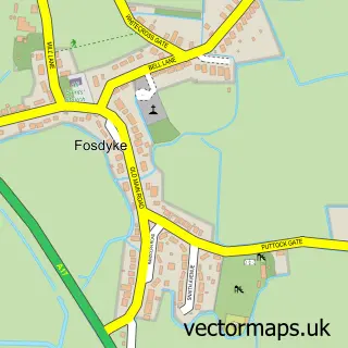
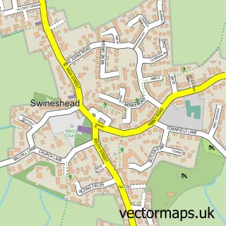
This Sutterton street map is a detailed vector street map covering a 750m x 750m area. Select a larger area to create and download your own vector street map of Sutterton.
The 750-metre map sample for Sutterton covers 391 mapped buildings and approximately 13.9 km of road detail, of which 25 named roads are named. The immediate area includes 1 school, 1 GP surgery within 2 miles, 1 pub and 1 MOT station within 2 miles. The wider area around Sutterton features 2 food and drink venues, 1 hotel and 1 campsite within 2 miles. To create a larger or custom map of Sutterton, the map builder lets you define your own coverage area and download editable SVG, PDF and PNG files.
Create a larger editable map of Sutterton
Choose any area you need and generate a high-quality vector map instantly. Perfect for print, planning, design, business and personal use.

This Sutterton street map in Lincolnshire is available as downloadable SVG, PDF and PNG map files, or as a printed map for planning, business, display, education, local information and design work. You can also create a larger custom map area using the map selector.
What this Sutterton map sample shows
Sutterton lies within Sutterton Cp parish, part of Five Village ward in the Boston District (B) local authority area. The postcode geography for this area includes the PE postcode area, the PE20 postcode district and the PE20 2 postcode sector. Residents fall under the Nhs Lincolnshire Integrated Care Board for NHS services.
Local features near Sutterton
Within 2 milesAmenities and services in and around Sutterton.
Administrative and postcode information for Sutterton
The local authority covering Sutterton is Boston District (B), within the county of Lincolnshire. The settlement lies within Five Village ward and Sutterton Cp civil parish. The PE20 postcode district and PE20 2 postcode sector serve the immediate area. NHS provision in the area is delivered through United Lincolnshire Hospitals Nhs Trust.
Nearby street map samples around Sutterton
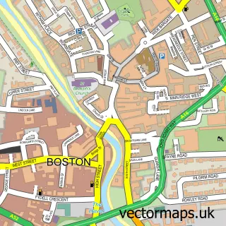

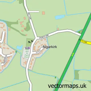
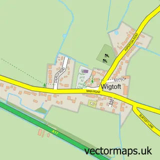
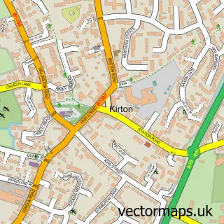
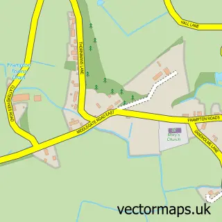
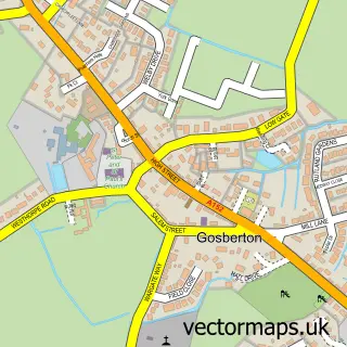
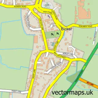
More street maps in Lincolnshire
750 metre map area coverage
Boundary, postcode and point of interest information for the 750m x 750m rectangle centred on this sample map.
Boundaries containing map centre
Constituency: Boston and Skegness Co Const
County: Lincolnshire County
District: Boston District (B)
Icb: NHS Lincolnshire ICB
Parish: Sutterton CP
Police Force: lincolnshire
Postcode District: PE20
Postcode Sector: PE20 2
Ward: Five Village Ward
Nearby boundaries intersecting sample
Parish: Algarkirk CP
Postcode coverage
POI category counts
Anglican Church: 1
Bar: 1
Child Care And Day Care: 1
Convenience Store: 1
Elementary School: 1
Environmental Conservation Organization: 1
Furniture Manufacturers: 1
Hair Salon: 1
Post Office: 1
Professional Services: 1
Sample points of interest
- St Mary
- Beridge Arms
- Bramble Hall Day Nursery
- Premier - Bob's Convenience Store
- Four Fields Church of England Primary School
- Park Lodge
- Suntec Blinds
- Susanna's Studios
- Post Office
- Mrs Hortons Guest Room
- Thatched Cottage Catering Company
- The Thatched Cottage Restaurant
Create a larger editable map of Sutterton
This sample shows only a 750 metre area. To create a larger map of Sutterton, use our map builder to choose your own coverage area, add titles and download editable SVG, PDF and PNG files.
Create a custom map of Sutterton