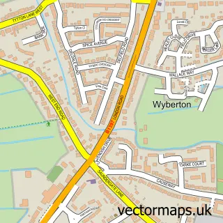
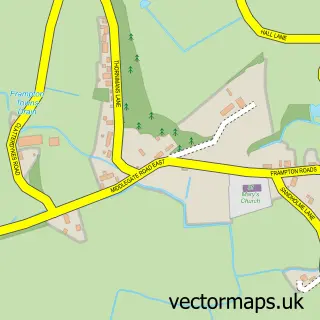
This Boston street map is a detailed vector street map covering a 750m x 750m area. Select a larger area to create and download your own vector street map of Boston.
The 750-metre map sample for Boston covers 309 mapped buildings and approximately 23.2 km of road detail, of which 73 named roads are named. The immediate area includes 1 primary school and 1 secondary school, 1 GP surgery, with 4 within 2 miles, 18 pubs and 1 MOT station, with 22 within 2 miles. The wider area around Boston features 4 tourism points of interest, 50 food and drink venues and 9 hotels. To create a larger or custom map of Boston, the map builder lets you define your own coverage area and download editable SVG, PDF and PNG files.
Create a larger editable map of Boston
Choose any area you need and generate a high-quality vector map instantly. Perfect for print, planning, design, business and personal use.

This Boston street map in Lincolnshire is available as downloadable SVG, PDF and PNG map files, or as a printed map for planning, business, display, education, local information and design work. You can also create a larger custom map area using the map selector.
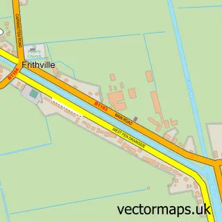
What this Boston map sample shows
Boston lies within Lincolnshire County parish, part of Station ward in the Boston District (B) local authority area. The postcode geography for this area includes the PE postcode area, the PE21 postcode district and the PE21 8 postcode sector. Residents fall under the Nhs Lincolnshire Integrated Care Board for NHS services.
Local features near Boston
Within 2 milesAmenities and services in and around Boston.
Administrative and postcode information for Boston
Boston lies within Lincolnshire County parish, part of Station ward in the Boston District (B) local authority area. The postcode geography for this area includes the PE postcode area, the PE21 postcode district and the PE21 8 postcode sector. Residents fall under the Nhs Lincolnshire Integrated Care Board for NHS services.
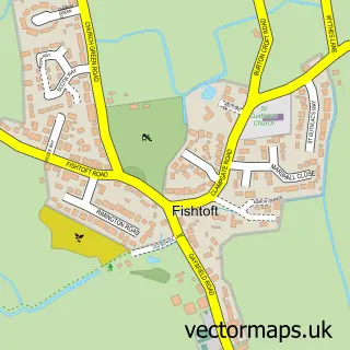
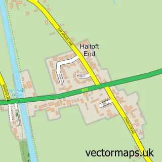
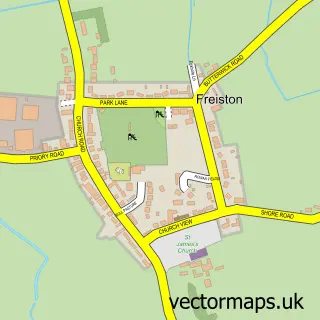
Nearby street map samples around Boston

More street maps in Lincolnshire
750 metre map area coverage
Boundary, postcode and point of interest information for the 750m x 750m rectangle centred on this sample map.
Boundaries containing map centre
Constituency: Boston and Skegness Co Const
County: Lincolnshire County
District: Boston District (B)
Icb: NHS Lincolnshire ICB
Police Force: lincolnshire
Postcode District: PE21
Postcode Sector: PE21 6
Ward: Witham Ward
Nearby boundaries intersecting sample
Postcode Sector: PE21 8, PE21 9
Ward: Skirbeck Ward, Station Ward, Trinity Ward
Postcode coverage
POI category counts
Beauty Salon: 26
Hair Salon: 22
Clothing Store: 19
Pub: 18
Mobile Phone Store: 17
Professional Services: 14
Tattoo And Piercing: 13
Beauty And Spa: 12
Dentist: 12
Coffee Shop: 11
Sample points of interest
- Boston Accountants Limited
- Ricky Green Creative
- Farmgear Limited
- The Osteopathic Clinic
- Lime Restaurant
- L A Amusements
- St Botolph
- Farplace Animal Rescue
- British Red Cross
- Memory Lane Emporium
- Pilgrim Hospital Charity Shop
- The Magpies Nest
Create a larger editable map of Boston
This sample shows only a 750 metre area. To create a larger map of Boston, use our map builder to choose your own coverage area, add titles and download editable SVG, PDF and PNG files.
Create a custom map of Boston