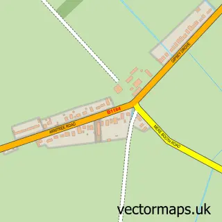
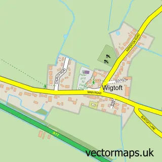
This Hubbert's Bridge street map is a detailed vector street map covering a 750m x 750m area. Select a larger area to create and download your own vector street map of Hubbert's Bridge.
The 750-metre map sample for Hubbert's Bridge covers 96 mapped buildings and approximately 13.6 km of road detail, of which 4 named roads are named. The immediate area includes 1 railway station, 1 pub and 1 MOT station within 2 miles. The wider area around Hubbert's Bridge features 2 tourism points of interest, 1 food and drink venue and 2 hotels. To create a larger or custom map of Hubbert's Bridge, the map builder lets you define your own coverage area and download editable SVG, PDF and PNG files.
Create a larger editable map of Hubbert's Bridge
Choose any area you need and generate a high-quality vector map instantly. Perfect for print, planning, design, business and personal use.

This Hubbert's Bridge street map in Lincolnshire is available as downloadable SVG, PDF and PNG map files, or as a printed map for planning, business, display, education, local information and design work. You can also create a larger custom map area using the map selector.
What this Hubbert's Bridge map sample shows
Hubbert's Bridge lies within Holland Fen With Brothertoft Cp parish, part of Swineshead And Holland Fen ward in the Boston District (B) local authority area. The postcode geography for this area includes the PE postcode area, the PE20 postcode district and the PE20 3 postcode sector. Residents fall under the Nhs Lincolnshire Integrated Care Board for NHS services.
Local features near Hubbert's Bridge
Within 2 milesAmenities and services in and around Hubbert's Bridge.
Administrative and postcode information for Hubbert's Bridge
The local authority covering Hubbert's Bridge is Boston District (B), within the county of Lincolnshire. The settlement lies within Swineshead And Holland Fen ward and Holland Fen With Brothertoft Cp civil parish. The PE20 postcode district and PE20 3 postcode sector serve the immediate area. NHS provision in the area is delivered through United Lincolnshire Hospitals Nhs Trust.
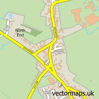
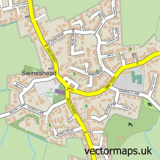
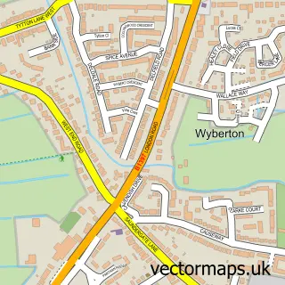
Nearby street map samples around Hubbert's Bridge
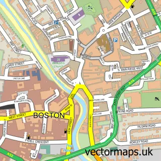

More street maps in Lincolnshire
750 metre map area coverage
Boundary, postcode and point of interest information for the 750m x 750m rectangle centred on this sample map.
Boundaries containing map centre
Constituency: Boston and Skegness Co Const
County: Lincolnshire County
District: Boston District (B)
Icb: NHS Lincolnshire ICB
Parish: Holland Fen with Brothertoft CP
Police Force: lincolnshire
Postcode District: PE20
Postcode Sector: PE20 3
Ward: Swineshead and Holland Fen Ward
Nearby boundaries intersecting sample
Parish: Frampton CP, Kirton CP
Postcode Sector: PE20 1
Ward: Kirton and Frampton Ward
Postcode coverage
POI category counts
Hotel: 2
Resort: 2
Bed And Breakfast: 1
Campground: 1
Community Center: 1
Engine Repair Service: 1
Engineering Services: 1
Event Planning: 1
Golf Club: 1
Golf Course: 1
Sample points of interest
- Elms Farm Cottages
- Appletree Holiday Park
- Hubberts Bridge Community Centre
- Chris Sellars
- Team Sellars Racing
- Granary Wedding Barn
- Boston West Hotel
- Boston West Golf Club
- Boston West Hotel & Golf Course
- Elms Farm Cottages
- Hubberts Bridge
- Chris Sellars Ground Care
Create a larger editable map of Hubbert's Bridge
This sample shows only a 750 metre area. To create a larger map of Hubbert's Bridge, use our map builder to choose your own coverage area, add titles and download editable SVG, PDF and PNG files.
Create a custom map of Hubbert's Bridge