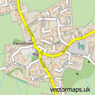
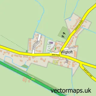
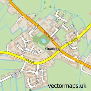
This North End street map is a detailed vector street map covering a 750m x 750m area. Select a larger area to create and download your own vector street map of North End.
The 750-metre map sample for North End covers 218 mapped buildings and approximately 7.6 km of road detail, of which 8 named roads are named. The immediate area includes 1 GP surgery within 2 miles and 1 MOT station, with 2 within 2 miles. To create a larger or custom map of North End, the map builder lets you define your own coverage area and download editable SVG, PDF and PNG files.
Create a larger editable map of North End
Choose any area you need and generate a high-quality vector map instantly. Perfect for print, planning, design, business and personal use.

This North End street map in Lincolnshire is available as downloadable SVG, PDF and PNG map files, or as a printed map for planning, business, display, education, local information and design work. You can also create a larger custom map area using the map selector.
What this North End map sample shows
North End lies within Swineshead Cp parish, part of Swineshead And Holland Fen ward in the Boston District (B) local authority area. The postcode geography for this area includes the PE postcode area, the PE20 postcode district and the PE20 3 postcode sector. Residents fall under the Nhs Lincolnshire Integrated Care Board for NHS services.
Local features near North End
Within 2 milesAmenities and services in and around North End.
Administrative and postcode information for North End
North End lies within Swineshead Cp parish, part of Swineshead And Holland Fen ward in the Boston District (B) local authority area. The postcode geography for this area includes the PE postcode area, the PE20 postcode district and the PE20 3 postcode sector. Residents fall under the Nhs Lincolnshire Integrated Care Board for NHS services.
Nearby street map samples around North End

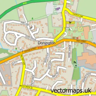
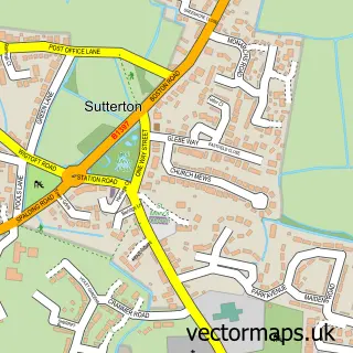
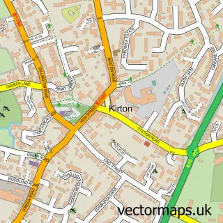
More street maps in Lincolnshire
750 metre map area coverage
Boundary, postcode and point of interest information for the 750m x 750m rectangle centred on this sample map.
Boundaries containing map centre
Constituency: Boston and Skegness Co Const
County: Lincolnshire County
District: Boston District (B)
Icb: NHS Lincolnshire ICB
Parish: Swineshead CP
Police Force: lincolnshire
Postcode District: PE20
Postcode Sector: PE20 3
Ward: Swineshead and Holland Fen Ward
Nearby boundaries intersecting sample
No additional intersecting boundaries found.
Postcode coverage
POI category counts
Financial Service: 2
Auto Electrical Repair: 1
Bank Credit Union: 1
British Restaurant: 1
Building Supply Store: 1
Car Dealer: 1
Charity Organization: 1
Community Center: 1
Education: 1
Financial Advising: 1
Sample points of interest
- Locked And Secure Ltd.
- NatWest
- Ivy Farm Shop
- Reinforced Structures
- GL Cars and Finance
- HWLincs
- Swineshead Village Hall
- ESaT Ltd. - Driver CPC Training
- Parks Wealth Management
- R J B Financial Services
- RJB Financial Services
- Bliss Hair studio swineshead
Create a larger editable map of North End
This sample shows only a 750 metre area. To create a larger map of North End, use our map builder to choose your own coverage area, add titles and download editable SVG, PDF and PNG files.
Create a custom map of North End