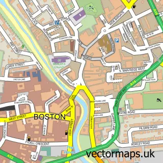
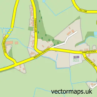
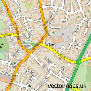
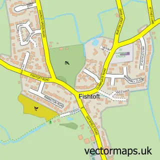
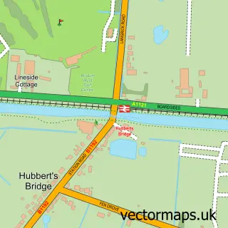
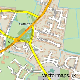
This Wyberton street map is a detailed vector street map covering a 750m x 750m area. Select a larger area to create and download your own vector street map of Wyberton.
The 750-metre map sample for Wyberton covers 497 mapped buildings and approximately 11.8 km of road detail, of which 20 named roads are named. The immediate area includes 4 GP surgeries within 2 miles, 1 pub and 17 MOT stations within 2 miles. The wider area around Wyberton features 2 food and drink venues. To create a larger or custom map of Wyberton, the map builder lets you define your own coverage area and download editable SVG, PDF and PNG files.
Create a larger editable map of Wyberton
Choose any area you need and generate a high-quality vector map instantly. Perfect for print, planning, design, business and personal use.

This Wyberton street map in Lincolnshire is available as downloadable SVG, PDF and PNG map files, or as a printed map for planning, business, display, education, local information and design work. You can also create a larger custom map area using the map selector.
What this Wyberton map sample shows
Wyberton lies within Wyberton Cp parish, part of Wyberton ward in the Boston District (B) local authority area. The postcode geography for this area includes the PE postcode area, the PE21 postcode district and the PE21 7 postcode sector. Residents fall under the Nhs Lincolnshire Integrated Care Board for NHS services.
Local features near Wyberton
Within 2 milesAmenities and services in and around Wyberton.
Administrative and postcode information for Wyberton
The local authority covering Wyberton is Boston District (B), within the county of Lincolnshire. The settlement lies within Wyberton ward and Wyberton Cp civil parish. The PE21 postcode district and PE21 7 postcode sector serve the immediate area. NHS provision in the area is delivered through United Lincolnshire Hospitals Nhs Trust.
Nearby street map samples around Wyberton

More street maps in Lincolnshire
750 metre map area coverage
Boundary, postcode and point of interest information for the 750m x 750m rectangle centred on this sample map.
Boundaries containing map centre
Constituency: Boston and Skegness Co Const
County: Lincolnshire County
District: Boston District (B)
Icb: NHS Lincolnshire ICB
Parish: Wyberton CP
Police Force: lincolnshire
Postcode District: PE21
Postcode Sector: PE21 7
Ward: Wyberton Ward
Nearby boundaries intersecting sample
No additional intersecting boundaries found.
Postcode coverage
POI category counts
Contractor: 2
Driving School: 2
Electrician: 2
Gym: 2
Bus Station: 1
Coffee Shop: 1
Community Center: 1
Convenience Store: 1
Dentist: 1
Education: 1
Sample points of interest
- Brylaine
- Costa Express
- Wyberton Community Centre
- Andy Collins Plastering
- Focus Bathrooms and Building
- Co-op
- Boston Dental Centre (Mrs L Amini & Mrs M Tavasoli)
- Affordable Automatic Driving Lessons | My ADL | Boston
- Mick Poole's Driving School
- Wyberton Play School
- AJB Electrical
- Core Electrical Services
Create a larger editable map of Wyberton
This sample shows only a 750 metre area. To create a larger map of Wyberton, use our map builder to choose your own coverage area, add titles and download editable SVG, PDF and PNG files.
Create a custom map of Wyberton