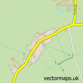
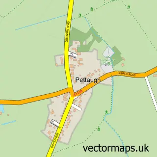
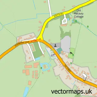
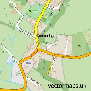
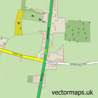
This Crowfield street map is a detailed vector street map covering a 750m x 750m area. Select a larger area to create and download your own vector street map of Crowfield.
The 750-metre map sample for Crowfield covers 133 mapped buildings and approximately 5.0 km of road detail, of which 4 named roads are named. The immediate area includes 1 MOT station, with 2 within 2 miles. The wider area around Crowfield features 1 tourism point of interest. To create a larger or custom map of Crowfield, the map builder lets you define your own coverage area and download editable SVG, PDF and PNG files.
Create a larger editable map of Crowfield
Choose any area you need and generate a high-quality vector map instantly. Perfect for print, planning, design, business and personal use.

This Crowfield street map in Suffolk is available as downloadable SVG, PDF and PNG map files, or as a printed map for planning, business, display, education, local information and design work. You can also create a larger custom map area using the map selector.
What this Crowfield map sample shows
Crowfield lies within Crowfield Cp parish, part of Stonham ward in the Mid Suffolk District local authority area. The postcode geography for this area includes the IP postcode area, the IP6 postcode district and the IP6 9 postcode sector. Residents fall under the Nhs Suffolk And North East Essex Integrated Care Board for NHS services.
Local features near Crowfield
Within 2 milesAmenities and services in and around Crowfield.
Administrative and postcode information for Crowfield
The local authority covering Crowfield is Mid Suffolk District, within the county of Suffolk. The settlement lies within Stonham ward and Crowfield Cp civil parish. The IP6 postcode district and IP6 9 postcode sector serve the immediate area. NHS provision in the area is delivered through East Suffolk And North Essex Nhs Foundation Trust.
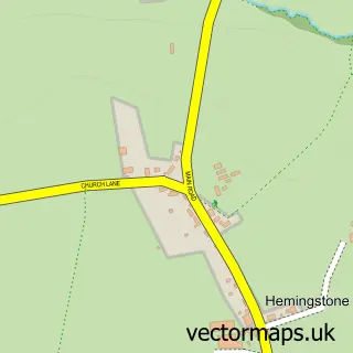
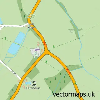
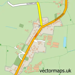
Nearby street map samples around Crowfield

More street maps in Suffolk
750 metre map area coverage
Boundary, postcode and point of interest information for the 750m x 750m rectangle centred on this sample map.
Boundaries containing map centre
Constituency: Central Suffolk and North Ipswich Co Const
County: Suffolk County
District: Mid Suffolk District
Icb: NHS Essex ICB
Parish: Crowfield CP
Police Force: suffolk
Postcode District: IP6
Postcode Sector: IP6 9
Ward: Stonham Ward
Nearby boundaries intersecting sample
Parish: Gosbeck CP
Ward: Claydon & Barham Ward
Postcode coverage
POI category counts
Audiovisual Equipment Rental: 1
Automotive Repair: 1
Brake Service And Repair: 1
Business Management Services: 1
Carpenter: 1
Contractor: 1
Food Beverage Service Distribution: 1
Landmark And Historical Building: 1
Town Hall: 1
Sample points of interest
- Gibbons Plant Ltd.
- Reason Porsche Ltd
- Evergreen Garage (Crowfield)
- Mac Marney Refrigeration & Air Conditioning Ltd.
- JB Carpentry and Home Improvements
- Brickyard Paving Co.
- The Suffolk Pate Company Limited
- Crowfield Windmill
- Crowfield Village Hall
Create a larger editable map of Crowfield
This sample shows only a 750 metre area. To create a larger map of Crowfield, use our map builder to choose your own coverage area, add titles and download editable SVG, PDF and PNG files.
Create a custom map of Crowfield