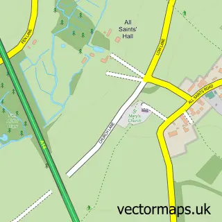
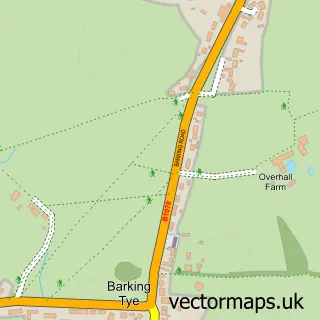
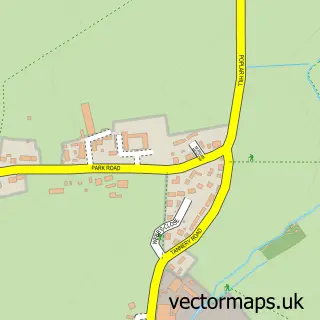
This Needham Market street map is a detailed vector street map covering a 750m x 750m area. Select a larger area to create and download your own vector street map of Needham Market.
The 750-metre map sample for Needham Market covers 384 mapped buildings and approximately 14.3 km of road detail, of which 33 named roads are named. The immediate area includes 1 railway station, 1 GP surgery within 2 miles, 2 pubs and 2 MOT stations within 2 miles. The wider area around Needham Market features 8 food and drink venues and 2 hotels. To create a larger or custom map of Needham Market, the map builder lets you define your own coverage area and download editable SVG, PDF and PNG files.
Create a larger editable map of Needham Market
Choose any area you need and generate a high-quality vector map instantly. Perfect for print, planning, design, business and personal use.

This Needham Market street map in Suffolk is available as downloadable SVG, PDF and PNG map files, or as a printed map for planning, business, display, education, local information and design work. You can also create a larger custom map area using the map selector.
What this Needham Market map sample shows
Needham Market lies within Needham Market Cp parish, part of Needham Market ward in the Mid Suffolk District local authority area. The postcode geography for this area includes the IP postcode area, the IP6 postcode district and the IP6 8 postcode sector. Residents fall under the Nhs Suffolk And North East Essex Integrated Care Board for NHS services.
Local features near Needham Market
Within 2 milesAmenities and services in and around Needham Market.
Administrative and postcode information for Needham Market
Needham Market lies within Needham Market Cp parish, part of Needham Market ward in the Mid Suffolk District local authority area. The postcode geography for this area includes the IP postcode area, the IP6 postcode district and the IP6 8 postcode sector. Residents fall under the Nhs Suffolk And North East Essex Integrated Care Board for NHS services.
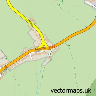
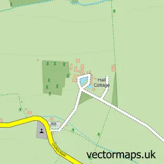
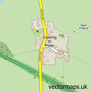
Nearby street map samples around Needham Market

More street maps in Suffolk
750 metre map area coverage
Boundary, postcode and point of interest information for the 750m x 750m rectangle centred on this sample map.
Boundaries containing map centre
Constituency: Central Suffolk and North Ipswich Co Const
County: Suffolk County
District: Mid Suffolk District
Icb: NHS Essex ICB
Parish: Needham Market CP
Police Force: suffolk
Postcode District: IP6
Postcode Sector: IP6 8
Ward: Needham Market Ward
Nearby boundaries intersecting sample
Parish: Creeting St. Mary CP
Postcode coverage
POI category counts
Beauty Salon: 7
Retail: 6
Dentist: 4
Hair Salon: 4
Post Office: 4
Convenience Store: 3
Fast Food Restaurant: 3
Financial Service: 3
Funeral Services And Cemeteries: 3
Antique Store: 2
Sample points of interest
- Unity Online
- Sue Ryder Care
- The Tool Shop
- BellayArt
- Ear View
- JJH Services
- Hemingstone Garage Servicing
- Motability Scheme at Kerridges MG Needham Market
- Finneys Bakery
- The Rampant Horse, Needham Market
- The Doghouse Barbers
- SPMU By Heidi Green
Create a larger editable map of Needham Market
This sample shows only a 750 metre area. To create a larger map of Needham Market, use our map builder to choose your own coverage area, add titles and download editable SVG, PDF and PNG files.
Create a custom map of Needham Market