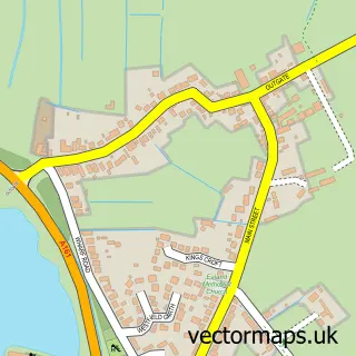
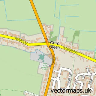
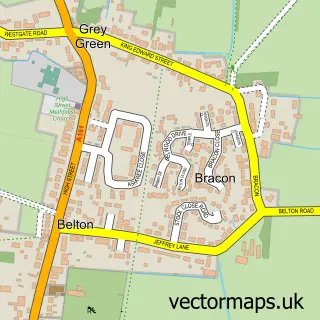
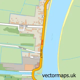
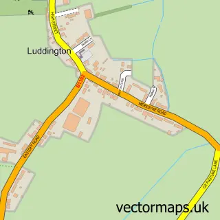
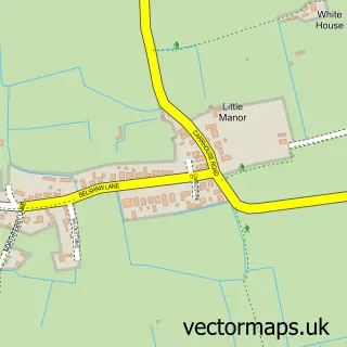
This Crowle street map is a detailed vector street map covering a 750m x 750m area. Select a larger area to create and download your own vector street map of Crowle.
The 750-metre map sample for Crowle covers 600 mapped buildings and approximately 16.1 km of road detail, of which 43 named roads are named. The immediate area includes 2 schools, 2 pubs and 1 MOT station, with 2 within 2 miles. The wider area around Crowle features 1 tourism point of interest and 3 food and drink venues. To create a larger or custom map of Crowle, the map builder lets you define your own coverage area and download editable SVG, PDF and PNG files.
Create a larger editable map of Crowle
Choose any area you need and generate a high-quality vector map instantly. Perfect for print, planning, design, business and personal use.

This Crowle street map in Lincolnshire is available as downloadable SVG, PDF and PNG map files, or as a printed map for planning, business, display, education, local information and design work. You can also create a larger custom map area using the map selector.
What this Crowle map sample shows
Crowle lies within Crowle And Ealand Cp parish, part of Axholme North ward in the North Lincolnshire (B) local authority area. The postcode geography for this area includes the DN postcode area, the DN17 postcode district and the DN17 4 postcode sector. Residents fall under the Nhs Humber And North Yorkshire Integrated Care Board for NHS services.
Local features near Crowle
Within 2 milesAmenities and services in and around Crowle.
Administrative and postcode information for Crowle
Crowle lies within Crowle And Ealand Cp parish, part of Axholme North ward in the North Lincolnshire (B) local authority area. The postcode geography for this area includes the DN postcode area, the DN17 postcode district and the DN17 4 postcode sector. Residents fall under the Nhs Humber And North Yorkshire Integrated Care Board for NHS services.
Nearby street map samples around Crowle

More street maps in Lincolnshire
750 metre map area coverage
Boundary, postcode and point of interest information for the 750m x 750m rectangle centred on this sample map.
Boundaries containing map centre
Constituency: Doncaster East and the Isle of Axholme Co Const
District: North Lincolnshire (B)
Icb: NHS Humber and North Yorkshire ICB
Parish: Crowle and Ealand CP
Police Force: humberside
Postcode District: DN17
Postcode Sector: DN17 4
Ward: Axholme North Ward
Nearby boundaries intersecting sample
No additional intersecting boundaries found.
Postcode coverage
POI category counts
Beauty Salon: 4
Convenience Store: 4
Pharmacy: 3
Post Office: 3
Professional Services: 3
Rental Kiosks: 3
Bakery: 2
Bed And Breakfast: 2
Building Supply Store: 2
Church Cathedral: 2
Sample points of interest
- St Oswald's Church
- Golden Hall
- Lincolnshire Co-op - Crowle (001334), Crowle
- OSI Vans
- R Nicholson Motors
- Chapman Motors
- Fullers quality bakery crowle
- Propa pies
- king’s barbers
- Quintessential Hair
- Essentials of Beauty
- Georgia Mawson Hair
Create a larger editable map of Crowle
This sample shows only a 750 metre area. To create a larger map of Crowle, use our map builder to choose your own coverage area, add titles and download editable SVG, PDF and PNG files.
Create a custom map of Crowle