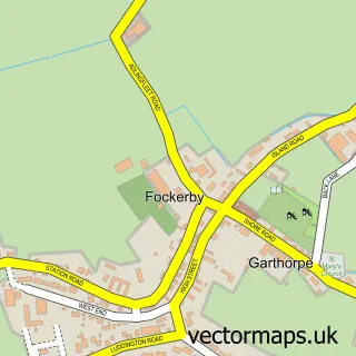
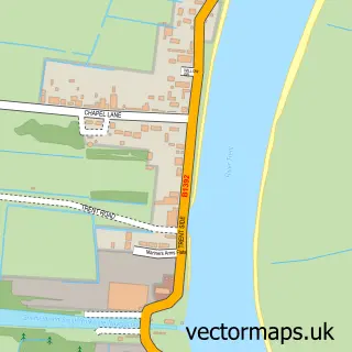
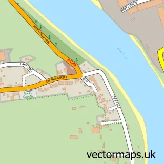
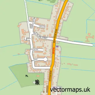
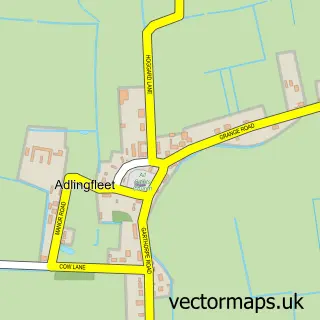
This Eastoft street map is a detailed vector street map covering a 750m x 750m area. Select a larger area to create and download your own vector street map of Eastoft.
The 750-metre map sample for Eastoft covers 175 mapped buildings and approximately 11.4 km of road detail, of which 10 named roads are named. The immediate area includes 1 pub. The wider area around Eastoft features 1 food and drink venue and 1 hotel. To create a larger or custom map of Eastoft, the map builder lets you define your own coverage area and download editable SVG, PDF and PNG files.
Create a larger editable map of Eastoft
Choose any area you need and generate a high-quality vector map instantly. Perfect for print, planning, design, business and personal use.

This Eastoft street map in Lincolnshire is available as downloadable SVG, PDF and PNG map files, or as a printed map for planning, business, display, education, local information and design work. You can also create a larger custom map area using the map selector.
What this Eastoft map sample shows
Eastoft lies within Eastoft Cp parish, part of Axholme North ward in the North Lincolnshire (B) local authority area. The postcode geography for this area includes the DN postcode area, the DN17 postcode district and the DN17 4 postcode sector. Residents fall under the Nhs Humber And North Yorkshire Integrated Care Board for NHS services.
Local features near Eastoft
Within 2 milesAmenities and services in and around Eastoft.
Administrative and postcode information for Eastoft
Eastoft lies within Eastoft Cp parish, part of Axholme North ward in the North Lincolnshire (B) local authority area. The postcode geography for this area includes the DN postcode area, the DN17 postcode district and the DN17 4 postcode sector. Residents fall under the Nhs Humber And North Yorkshire Integrated Care Board for NHS services.
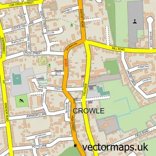
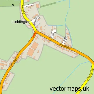
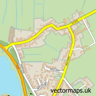
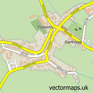
Nearby street map samples around Eastoft

More street maps in Lincolnshire
750 metre map area coverage
Boundary, postcode and point of interest information for the 750m x 750m rectangle centred on this sample map.
Boundaries containing map centre
Constituency: Doncaster East and the Isle of Axholme Co Const
District: North Lincolnshire (B)
Icb: NHS Humber and North Yorkshire ICB
Parish: Eastoft CP
Police Force: humberside
Postcode District: DN17
Postcode Sector: DN17 4
Ward: Axholme North Ward
Nearby boundaries intersecting sample
No additional intersecting boundaries found.
Postcode coverage
POI category counts
Post Office: 2
Agricultural Service: 1
Elementary School: 1
Farm: 1
Farming Services: 1
Home Service: 1
Hotel: 1
Information Technology Company: 1
Nursery And Gardening: 1
Pub: 1
Sample points of interest
- Willburtoft Shetlands
- Eastoft C of E Primary School
- Hall Farm Eastoft CIC
- Assured Agronomy Ltd.
- Eastofts Little Legs childminding
- The River Don Tavern and Lodge
- Pcbuddy 24/7
- Eastoft Echeveria
- Eastoft Post Office
- Eastoft Post Office
- River Don Tavern
- Urban Campers
Create a larger editable map of Eastoft
This sample shows only a 750 metre area. To create a larger map of Eastoft, use our map builder to choose your own coverage area, add titles and download editable SVG, PDF and PNG files.
Create a custom map of Eastoft