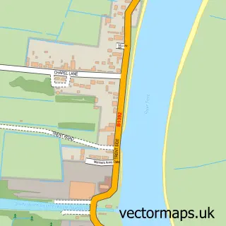
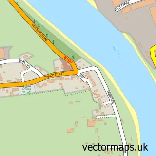
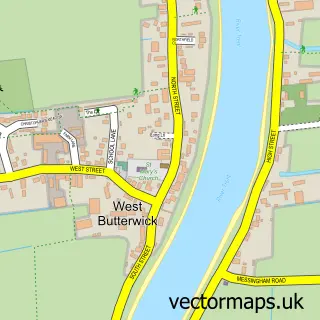
This Gunness street map is a detailed vector street map covering a 750m x 750m area. Select a larger area to create and download your own vector street map of Gunness.
The 750-metre map sample for Gunness covers 246 mapped buildings and approximately 7.2 km of road detail, of which 9 named roads are named. The immediate area includes 5 MOT stations within 2 miles. To create a larger or custom map of Gunness, the map builder lets you define your own coverage area and download editable SVG, PDF and PNG files.
Create a larger editable map of Gunness
Choose any area you need and generate a high-quality vector map instantly. Perfect for print, planning, design, business and personal use.

This Gunness street map in Lincolnshire is available as downloadable SVG, PDF and PNG map files, or as a printed map for planning, business, display, education, local information and design work. You can also create a larger custom map area using the map selector.
What this Gunness map sample shows
Gunness lies within Gunness Cp parish, part of Burringham And Gunness ward in the North Lincolnshire (B) local authority area. The postcode geography for this area includes the DN postcode area, the DN15 postcode district and the DN15 8 postcode sector. Residents fall under the Nhs Humber And North Yorkshire Integrated Care Board for NHS services.
Local features near Gunness
Within 2 milesAmenities and services in and around Gunness.
Administrative and postcode information for Gunness
The local authority covering Gunness is North Lincolnshire (B), within the county of Lincolnshire. The settlement lies within Burringham And Gunness ward and Gunness Cp civil parish. The DN15 postcode district and DN15 8 postcode sector serve the immediate area. NHS provision in the area is delivered through Northern Lincolnshire And Goole Nhs Foundation Trust.
Nearby street map samples around Gunness
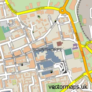

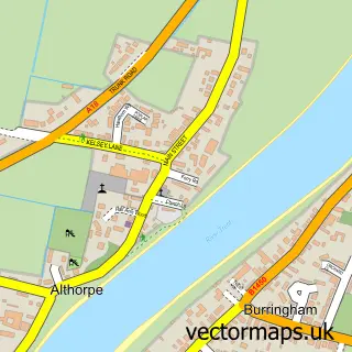
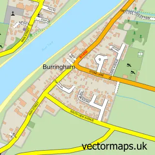
More street maps in Lincolnshire
750 metre map area coverage
Boundary, postcode and point of interest information for the 750m x 750m rectangle centred on this sample map.
Boundaries containing map centre
Constituency: Scunthorpe Co Const
District: North Lincolnshire (B)
Icb: NHS Humber and North Yorkshire ICB
Parish: Gunness CP
Police Force: humberside
Postcode District: DN15
Postcode Sector: DN15 8
Ward: Burringham & Gunness Ward
Nearby boundaries intersecting sample
No additional intersecting boundaries found.
Postcode coverage
POI category counts
Building Supply Store: 2
Driving School: 2
Private Association: 2
Anglican Church: 1
Automotive Repair: 1
Beauty Salon: 1
Bus Service: 1
Electrician: 1
Flooring Contractors: 1
Package Locker: 1
Sample points of interest
- St Barnabas
- LGJ Vehicle Paintwork Services
- Rose Nail & Beauty Lounge
- G Empson & Sons Ltd.
- S Goodson Driveways
- Axi Private Hire
- Freelance School of Motoring
- Steve Dent Driver Training
- Trent Valley Electrical Services
- Home N Dry
- InPost
- Abby's Posh Paws Gunness
Create a larger editable map of Gunness
This sample shows only a 750 metre area. To create a larger map of Gunness, use our map builder to choose your own coverage area, add titles and download editable SVG, PDF and PNG files.
Create a custom map of Gunness