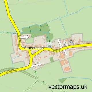
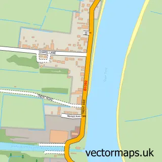
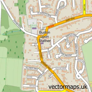
This Scunthorpe street map is a detailed vector street map covering a 750m x 750m area. Select a larger area to create and download your own vector street map of Scunthorpe.
The 750-metre map sample for Scunthorpe covers 252 mapped buildings and approximately 22.6 km of road detail, of which 43 named roads are named. The immediate area includes 1 primary school and 1 secondary school, 7 GP surgeries within 2 miles, 7 pubs and 3 MOT stations, with 27 within 2 miles. The wider area around Scunthorpe features 27 food and drink venues and 4 hotels. To create a larger or custom map of Scunthorpe, the map builder lets you define your own coverage area and download editable SVG, PDF and PNG files.
Create a larger editable map of Scunthorpe
Choose any area you need and generate a high-quality vector map instantly. Perfect for print, planning, design, business and personal use.

This Scunthorpe street map in Lincolnshire is available as downloadable SVG, PDF and PNG map files, or as a printed map for planning, business, display, education, local information and design work. You can also create a larger custom map area using the map selector.
What this Scunthorpe map sample shows
Scunthorpe lies within North Lincolnshire (B) parish, part of Kingsway With Lincoln Gardens ward in the North Lincolnshire (B) local authority area. The postcode geography for this area includes the DN postcode area, the DN16 postcode district and the DN16 1 postcode sector. Residents fall under the Nhs Humber And North Yorkshire Integrated Care Board for NHS services.
Local features near Scunthorpe
Within 2 milesAmenities and services in and around Scunthorpe.
Administrative and postcode information for Scunthorpe
Scunthorpe lies within North Lincolnshire (B) parish, part of Kingsway With Lincoln Gardens ward in the North Lincolnshire (B) local authority area. The postcode geography for this area includes the DN postcode area, the DN16 postcode district and the DN16 1 postcode sector. Residents fall under the Nhs Humber And North Yorkshire Integrated Care Board for NHS services.
Nearby street map samples around Scunthorpe

More street maps in Lincolnshire
750 metre map area coverage
Boundary, postcode and point of interest information for the 750m x 750m rectangle centred on this sample map.
Boundaries containing map centre
Constituency: Scunthorpe Co Const
District: North Lincolnshire (B)
Icb: NHS Humber and North Yorkshire ICB
Police Force: humberside
Postcode District: DN15
Postcode Sector: DN15 6
Ward: Town Ward
Nearby boundaries intersecting sample
Postcode District: DN16
Postcode Sector: DN15 0, DN16 1
Ward: Crosby & Park Ward
Postcode coverage
POI category counts
Clothing Store: 14
Beauty Salon: 13
Discount Store: 11
Jewelry Store: 11
Mobile Phone Store: 11
Bank Credit Union: 9
Supermarket: 9
Charity Organization: 8
Coffee Shop: 8
Grocery Store: 8
Sample points of interest
- Boyers & Co.
- Natural Care
- Pulse and Cocktails
- Healing Hands
- Tick Tock Terry's
- Brighthouse
- Sawasdee Thai Massage
- ArtsDLites
- 20-21 Visual Arts Centre
- Cash machine 107-113 High Street
- Cashpoint® 106 High Street
- MFG - Steelmakers Filling Station
Create a larger editable map of Scunthorpe
This sample shows only a 750 metre area. To create a larger map of Scunthorpe, use our map builder to choose your own coverage area, add titles and download editable SVG, PDF and PNG files.
Create a custom map of Scunthorpe