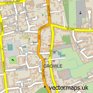
This Ealand street map is a detailed vector street map covering a 750m x 750m area. Select a larger area to create and download your own vector street map of Ealand.
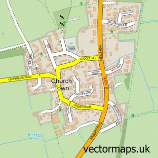
The 750-metre map sample for Ealand covers 261 mapped buildings and approximately 12.6 km of road detail, of which 8 named roads are named. The immediate area includes 2 MOT stations within 2 miles. The wider area around Ealand features 1 hotel. To create a larger or custom map of Ealand, the map builder lets you define your own coverage area and download editable SVG, PDF and PNG files.
Create a larger editable map of Ealand
Choose any area you need and generate a high-quality vector map instantly. Perfect for print, planning, design, business and personal use.

This Ealand street map in Lincolnshire is available as downloadable SVG, PDF and PNG map files, or as a printed map for planning, business, display, education, local information and design work. You can also create a larger custom map area using the map selector.
What this Ealand map sample shows
Ealand lies within Crowle And Ealand Cp parish, part of Axholme North ward in the North Lincolnshire (B) local authority area. The postcode geography for this area includes the DN postcode area, the DN17 postcode district and the DN17 4 postcode sector. Residents fall under the Nhs Humber And North Yorkshire Integrated Care Board for NHS services.
Local features near Ealand
Within 2 milesAmenities and services in and around Ealand.
Administrative and postcode information for Ealand
Ealand lies within Crowle And Ealand Cp parish, part of Axholme North ward in the North Lincolnshire (B) local authority area. The postcode geography for this area includes the DN postcode area, the DN17 postcode district and the DN17 4 postcode sector. Residents fall under the Nhs Humber And North Yorkshire Integrated Care Board for NHS services.
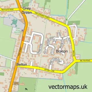
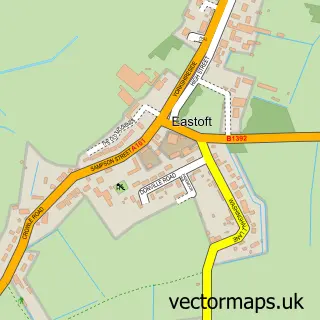
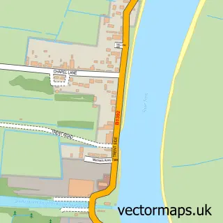
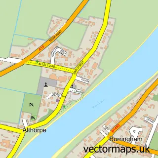
Nearby street map samples around Ealand

More street maps in Lincolnshire
750 metre map area coverage
Boundary, postcode and point of interest information for the 750m x 750m rectangle centred on this sample map.
Boundaries containing map centre
Constituency: Doncaster East and the Isle of Axholme Co Const
District: North Lincolnshire (B)
Icb: NHS Humber and North Yorkshire ICB
Parish: Crowle and Ealand CP
Police Force: humberside
Postcode District: DN17
Postcode Sector: DN17 4
Ward: Axholme North Ward
Nearby boundaries intersecting sample
No additional intersecting boundaries found.
Postcode coverage
POI category counts
Automotive Services And Repair: 1
Business: 1
Community Center: 1
Event Planning: 1
Farm: 1
Hotel: 1
Kitchen And Bath: 1
Lake: 1
Landscaping: 1
Marketing Agency: 1
Sample points of interest
- HivIz Safety
- Prosafe UK Ltd
- Ealand Victory Hall
- Ealand Gate
- Outgate Poultry
- 7 Lakes Leisure
- Total Bathrooms
- Seven Lakes Country Park
- Flourish by Danum Plants
- Liondog Creative
- Miss Lexa’s Dog Grooming
- Ealand Playground
Create a larger editable map of Ealand
This sample shows only a 750 metre area. To create a larger map of Ealand, use our map builder to choose your own coverage area, add titles and download editable SVG, PDF and PNG files.
Create a custom map of Ealand