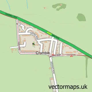
This Culross street map is a detailed vector street map covering a 750m x 750m area. Select a larger area to create and download your own vector street map of Culross.
The 750-metre map sample for Culross covers 107 mapped buildings and approximately 7.5 km of road detail, of which 9 named roads are named. The immediate area includes 1 GP surgery within 2 miles and 2 pubs. The wider area around Culross features 4 tourism points of interest and 6 food and drink venues. To create a larger or custom map of Culross, the map builder lets you define your own coverage area and download editable SVG, PDF and PNG files.
Create a larger editable map of Culross
Choose any area you need and generate a high-quality vector map instantly. Perfect for print, planning, design, business and personal use.

This Culross street map in Fife is available as downloadable SVG, PDF and PNG map files, or as a printed map for planning, business, display, education, local information and design work. You can also create a larger custom map area using the map selector.
What this Culross map sample shows
Culross lies within Fife parish, part of West Fife And Coastal Villages ward in the Fife local authority area. The postcode geography for this area includes the KY postcode area, the KY12 postcode district and the KY12 8 postcode sector. Residents fall under the Fife for NHS services.
Local features near Culross
Within 2 milesAmenities and services in and around Culross.
Administrative and postcode information for Culross
Culross lies within Fife parish, part of West Fife And Coastal Villages ward in the Fife local authority area. The postcode geography for this area includes the KY postcode area, the KY12 postcode district and the KY12 8 postcode sector. Residents fall under the Fife for NHS services.
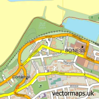
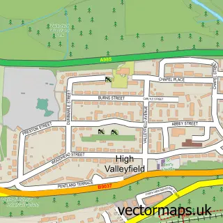
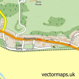
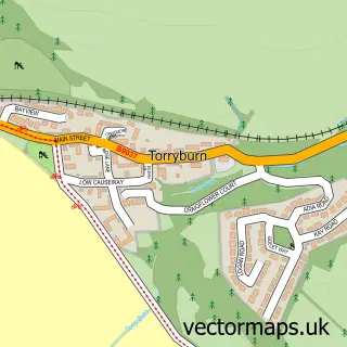
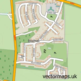
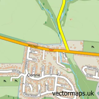
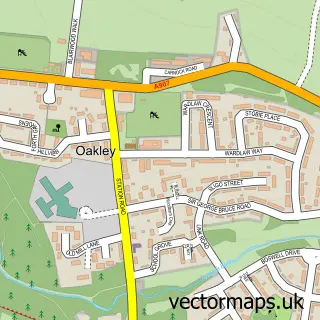
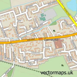
Nearby street map samples around Culross

More street maps in Fife
750 metre map area coverage
Boundary, postcode and point of interest information for the 750m x 750m rectangle centred on this sample map.
Boundaries containing map centre
Constituency: Dunfermline and Dollar Co Const
District: Fife
Icb: Fife
Postcode District: KY12
Postcode Sector: KY12 8
Ward: West Fife and Coastal Villages Ward
Nearby boundaries intersecting sample
No additional intersecting boundaries found.
Postcode coverage
POI category counts
Landmark And Historical Building: 3
Art Gallery: 2
Cafe: 2
Coffee Shop: 2
Monument: 2
Pub: 2
Bed And Breakfast: 1
Catholic Church: 1
Cottage: 1
Elementary School: 1
Sample points of interest
- Greengate Gallery
- The Gallery at Culross Pottery
- Stay
- Rankins Cafe
- The Biscuit Cafe
- Culross & Torryburn
- Bessie's Cafe
- Biscuit Cafe
- The Dundonald Guesthouse and Cottage
- Culross Primary School
- Culross Costal Path
- Culross Tolbooth
Create a larger editable map of Culross
This sample shows only a 750 metre area. To create a larger map of Culross, use our map builder to choose your own coverage area, add titles and download editable SVG, PDF and PNG files.
Create a custom map of Culross