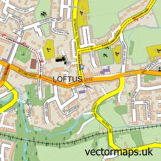
This Danby street map is a detailed vector street map covering a 750m x 750m area. Select a larger area to create and download your own vector street map of Danby.
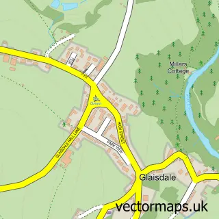
The 750-metre map sample for Danby covers 97 mapped buildings and approximately 6.1 km of road detail, of which 6 named roads are named. The immediate area includes 1 railway station, 1 GP surgery, 1 pub and 1 MOT station within 2 miles. The wider area around Danby features 1 tourism point of interest and 1 food and drink venue. To create a larger or custom map of Danby, the map builder lets you define your own coverage area and download editable SVG, PDF and PNG files.
Create a larger editable map of Danby
Choose any area you need and generate a high-quality vector map instantly. Perfect for print, planning, design, business and personal use.

This Danby street map in North Yorkshire is available as downloadable SVG, PDF and PNG map files, or as a printed map for planning, business, display, education, local information and design work. You can also create a larger custom map area using the map selector.
What this Danby map sample shows
Danby lies within Danby Cp parish, part of Danby & Mulgrave ward in the North Yorkshire local authority area. The postcode geography for this area includes the YO postcode area, the YO21 postcode district and the YO21 2 postcode sector. Residents fall under the Nhs Humber And North Yorkshire Integrated Care Board for NHS services.
Local features near Danby
Within 2 milesAmenities and services in and around Danby.
Administrative and postcode information for Danby
The local authority covering Danby is North Yorkshire, within the county of North Yorkshire. The settlement lies within Danby & Mulgrave ward and Danby Cp civil parish. The YO21 postcode district and YO21 2 postcode sector serve the immediate area. NHS provision in the area is delivered through South Tees Hospitals Nhs Foundation Trust.
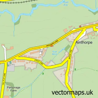
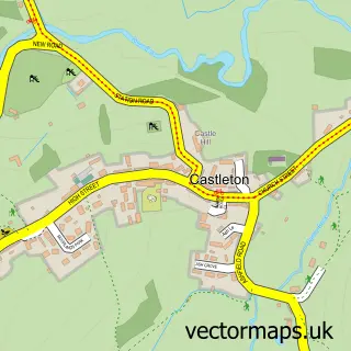
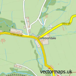
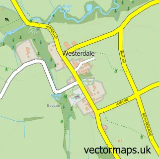
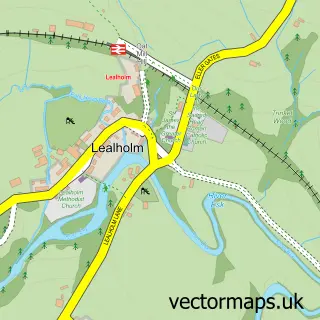
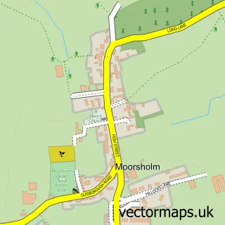
Nearby street map samples around Danby

More street maps in North Yorkshire
750 metre map area coverage
Boundary, postcode and point of interest information for the 750m x 750m rectangle centred on this sample map.
Boundaries containing map centre
Constituency: Scarborough and Whitby Co Const
District: North Yorkshire
Icb: NHS Humber and North Yorkshire ICB
Parish: Danby CP
Police Force: north yorkshire
Postcode District: YO21
Postcode Sector: YO21 2
Nearby boundaries intersecting sample
No additional intersecting boundaries found.
Postcode coverage
POI category counts
Bakery: 2
Bed And Breakfast: 2
Train Station: 2
Doctor: 1
Event Planning: 1
Family Practice: 1
Health Food Store: 1
Mens Clothing Store: 1
Music Venue: 1
Park: 1
Sample points of interest
- Danby Bakery
- Stonehouse Bakery Danby Tea Shop
- Duke Of Wellington Inn
- Floyter House
- Esk Valley Medical Practice
- Danby Castle Barn
- Danby Surgery
- Danby Health Shop
- Therigg
- The Flying Theatre Company
- Danby Northyork Moors
- Westerdale Village Hall Westerdale
Create a larger editable map of Danby
This sample shows only a 750 metre area. To create a larger map of Danby, use our map builder to choose your own coverage area, add titles and download editable SVG, PDF and PNG files.
Create a custom map of Danby