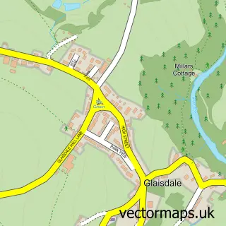
This Lealholm street map is a detailed vector street map covering a 750m x 750m area. Select a larger area to create and download your own vector street map of Lealholm.
The 750-metre map sample for Lealholm covers 70 mapped buildings and approximately 9.4 km of road detail, of which 3 named roads are named. The immediate area includes 1 school, 1 railway station and 1 MOT station. The wider area around Lealholm features 2 tourism points of interest. To create a larger or custom map of Lealholm, the map builder lets you define your own coverage area and download editable SVG, PDF and PNG files.
Create a larger editable map of Lealholm
Choose any area you need and generate a high-quality vector map instantly. Perfect for print, planning, design, business and personal use.

This Lealholm street map in North Yorkshire is available as downloadable SVG, PDF and PNG map files, or as a printed map for planning, business, display, education, local information and design work. You can also create a larger custom map area using the map selector.
What this Lealholm map sample shows
Lealholm lies within Glaisdale Cp parish, part of Danby & Mulgrave ward in the North Yorkshire local authority area. The postcode geography for this area includes the YO postcode area, the YO21 postcode district and the YO21 2 postcode sector. Residents fall under the Nhs Humber And North Yorkshire Integrated Care Board for NHS services.
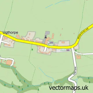
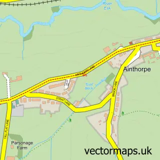
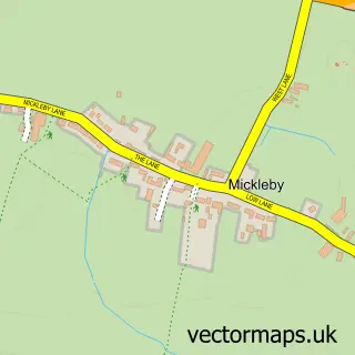
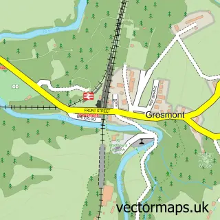
Local features near Lealholm
Within 2 milesAmenities and services in and around Lealholm.
Administrative and postcode information for Lealholm
Lealholm lies within Glaisdale Cp parish, part of Danby & Mulgrave ward in the North Yorkshire local authority area. The postcode geography for this area includes the YO postcode area, the YO21 postcode district and the YO21 2 postcode sector. Residents fall under the Nhs Humber And North Yorkshire Integrated Care Board for NHS services.
Nearby street map samples around Lealholm


More street maps in North Yorkshire
750 metre map area coverage
Boundary, postcode and point of interest information for the 750m x 750m rectangle centred on this sample map.
Boundaries containing map centre
Constituency: Scarborough and Whitby Co Const
District: North Yorkshire
Icb: NHS Humber and North Yorkshire ICB
Parish: Glaisdale CP
Police Force: north yorkshire
Postcode District: YO21
Postcode Sector: YO21 2
Nearby boundaries intersecting sample
No additional intersecting boundaries found.
Postcode coverage
POI category counts
Attractions And Activities: 2
Train Station: 2
Anglican Church: 1
Bakery: 1
Bike Repair Maintenance: 1
Car Rental Agency: 1
Gardener: 1
Inn: 1
Landscape Architect: 1
Metal Supplier: 1
Sample points of interest
- St James' Lealholm
- Lealholm Stepping Stones
- Lealholm Village Green
- Stepping Stones Bakery
- Al Suspension Ltd
- North Yorkshire Campervan Hire
- J J Harrison Landscape Contractors
- The Board Inn
- J J Harrison Landscapes
- Fryup Forge
- Poets Cottage Shrub Nursery
- Lealholm Post Office
Create a larger editable map of Lealholm
This sample shows only a 750 metre area. To create a larger map of Lealholm, use our map builder to choose your own coverage area, add titles and download editable SVG, PDF and PNG files.
Create a custom map of Lealholm