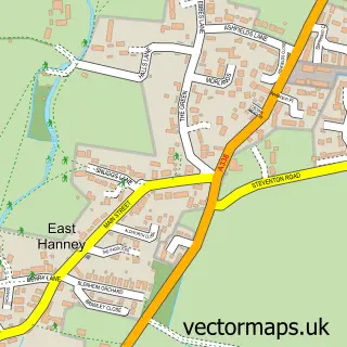
This Denchworth street map is a detailed vector street map covering a 750m x 750m area. Select a larger area to create and download your own vector street map of Denchworth.
The 750-metre map sample for Denchworth covers 94 mapped buildings and approximately 11.3 km of road detail, of which 6 named roads are named. The immediate area includes 1 pub and 4 MOT stations within 2 miles. The wider area around Denchworth features 1 food and drink venue. To create a larger or custom map of Denchworth, the map builder lets you define your own coverage area and download editable SVG, PDF and PNG files.
Create a larger editable map of Denchworth
Choose any area you need and generate a high-quality vector map instantly. Perfect for print, planning, design, business and personal use.

This Denchworth street map in Oxfordshire is available as downloadable SVG, PDF and PNG map files, or as a printed map for planning, business, display, education, local information and design work. You can also create a larger custom map area using the map selector.
What this Denchworth map sample shows
Denchworth lies within Denchworth Cp parish, part of Steventon & The Hanneys ward in the Vale Of White Horse District local authority area. The postcode geography for this area includes the OX postcode area, the OX12 postcode district and the OX12 0 postcode sector. Residents fall under the Nhs Buckinghamshire, Oxfordshire And Berkshire West Integrated Care Board for NHS services.
Local features near Denchworth
Within 2 milesAmenities and services in and around Denchworth.
Administrative and postcode information for Denchworth
Denchworth lies within Denchworth Cp parish, part of Steventon & The Hanneys ward in the Vale Of White Horse District local authority area. The postcode geography for this area includes the OX postcode area, the OX12 postcode district and the OX12 0 postcode sector. Residents fall under the Nhs Buckinghamshire, Oxfordshire And Berkshire West Integrated Care Board for NHS services.
Nearby street map samples around Denchworth

More street maps in Oxfordshire
750 metre map area coverage
Boundary, postcode and point of interest information for the 750m x 750m rectangle centred on this sample map.
Boundaries containing map centre
Constituency: Didcot and Wantage Co Const
County: Oxfordshire County
District: Vale of White Horse District
Icb: NHS Thames Valley ICB
Parish: Denchworth CP
Police Force: thames valley
Postcode District: OX12
Postcode Sector: OX12 0
Ward: Steventon & the Hanneys Ward
Nearby boundaries intersecting sample
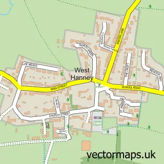
Parish: West Hanney CP
Postcode coverage
POI category counts
Anglican Church: 1
Community Services Non Profits: 1
Event Technology Service: 1
Gardener: 1
Home Cleaning: 1
Landscaping: 1
Pub: 1
Real Estate Agent: 1
Roofing: 1
Sample points of interest
- Denchworth: St James
- Denchworth Village Hall
- Rent-a-Tent (Oxford) Ltd
- Denchworth Pond & Garden Services
- Wantage Industrial Cleaning
- Midwinter Landscaping
- The Fox Inn
- Charles Bartlett Residential
- Huggins Roofing & Building
Create a larger editable map of Denchworth
This sample shows only a 750 metre area. To create a larger map of Denchworth, use our map builder to choose your own coverage area, add titles and download editable SVG, PDF and PNG files.
Create a custom map of Denchworth