This Grove street map is a detailed vector street map covering a 750m x 750m area. Select a larger area to create and download your own vector street map of Grove.
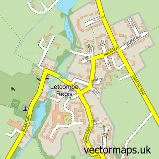
The 750-metre map sample for Grove covers 495 mapped buildings and approximately 20.1 km of road detail, of which 56 named roads are named. The immediate area includes 1 school, 2 GP surgeries within 2 miles, 2 pubs and 7 MOT stations within 2 miles. The wider area around Grove features 7 food and drink venues. To create a larger or custom map of Grove, the map builder lets you define your own coverage area and download editable SVG, PDF and PNG files.
Create a larger editable map of Grove
Choose any area you need and generate a high-quality vector map instantly. Perfect for print, planning, design, business and personal use.

This Grove street map in Oxfordshire is available as downloadable SVG, PDF and PNG map files, or as a printed map for planning, business, display, education, local information and design work. You can also create a larger custom map area using the map selector.
What this Grove map sample shows
Grove lies within Grove Cp parish, part of Grove North ward in the Vale Of White Horse District local authority area. The postcode geography for this area includes the OX postcode area, the OX12 postcode district and the OX12 7 postcode sector. Residents fall under the Nhs Buckinghamshire, Oxfordshire And Berkshire West Integrated Care Board for NHS services.
Local features near Grove
Within 2 milesAmenities and services in and around Grove.
Administrative and postcode information for Grove
Grove lies within Grove Cp parish, part of Grove North ward in the Vale Of White Horse District local authority area. The postcode geography for this area includes the OX postcode area, the OX12 postcode district and the OX12 7 postcode sector. Residents fall under the Nhs Buckinghamshire, Oxfordshire And Berkshire West Integrated Care Board for NHS services.
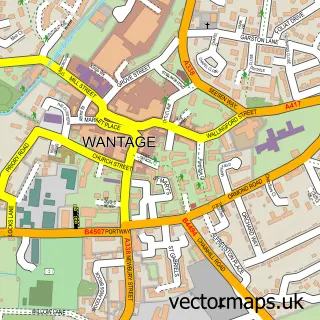
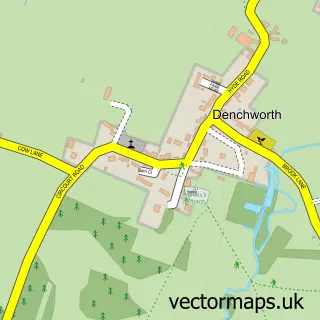
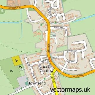
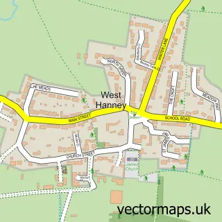
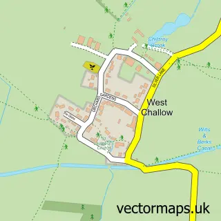
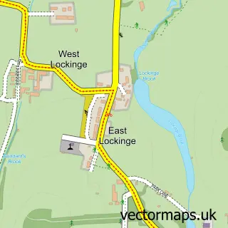
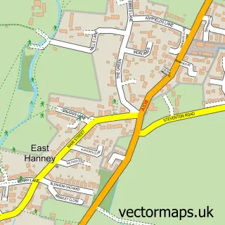
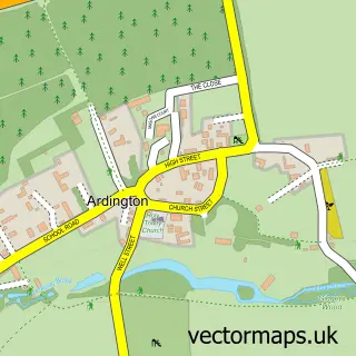
Nearby street map samples around Grove

More street maps in Oxfordshire
750 metre map area coverage
Boundary, postcode and point of interest information for the 750m x 750m rectangle centred on this sample map.
Boundaries containing map centre
Constituency: Didcot and Wantage Co Const
County: Oxfordshire County
District: Vale of White Horse District
Icb: NHS Thames Valley ICB
Parish: Grove CP
Police Force: thames valley
Postcode District: OX12
Postcode Sector: OX12 0
Ward: Grove North Ward
Nearby boundaries intersecting sample
Postcode Sector: OX12 7
Ward: Wantage & Grove Brook Ward
Postcode coverage
POI category counts
Barber: 3
Beauty Salon: 3
Cafe: 3
Church Cathedral: 3
Pizza Restaurant: 3
Retail: 3
Tattoo And Piercing: 3
Arts And Entertainment: 2
Business Management Services: 2
Contractor: 2
Sample points of interest
- Panthera Accounting
- Grove Adult Learning Centre
- E K Graphics
- Old Mill Hall
- The Comic Pastor International
- Paintworx Body Repair / Mobile Body Repair
- Parsons Bakery
- TSB Bank
- Alexander's Hair Studio - Grove
- Madeleine Grace Bridal & Occasion Hair
- Millbrook Barbers
- Alexander's Hair Studio
Create a larger editable map of Grove
This sample shows only a 750 metre area. To create a larger map of Grove, use our map builder to choose your own coverage area, add titles and download editable SVG, PDF and PNG files.
Create a custom map of Grove