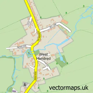
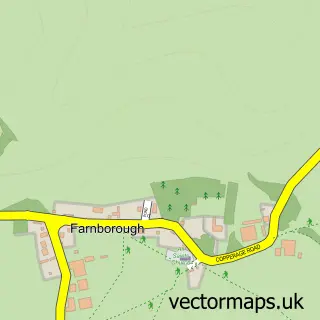
This East Lockinge street map is a detailed vector street map covering a 750m x 750m area. Select a larger area to create and download your own vector street map of East Lockinge.
The 750-metre map sample for East Lockinge covers 65 mapped buildings and approximately 7.1 km of road detail, of which 3 named roads are named. The immediate area includes 2 GP surgeries within 2 miles and 5 MOT stations within 2 miles. The wider area around East Lockinge features 3 tourism points of interest. To create a larger or custom map of East Lockinge, the map builder lets you define your own coverage area and download editable SVG, PDF and PNG files.
Create a larger editable map of East Lockinge
Choose any area you need and generate a high-quality vector map instantly. Perfect for print, planning, design, business and personal use.

This East Lockinge street map in Oxfordshire is available as downloadable SVG, PDF and PNG map files, or as a printed map for planning, business, display, education, local information and design work. You can also create a larger custom map area using the map selector.
What this East Lockinge map sample shows
East Lockinge lies within Lockinge Cp parish, part of Hendreds ward in the Vale Of White Horse District local authority area. The postcode geography for this area includes the OX postcode area, the OX12 postcode district and the OX12 8 postcode sector. Residents fall under the Nhs Buckinghamshire, Oxfordshire And Berkshire West Integrated Care Board for NHS services.
Local features near East Lockinge
Within 2 milesAmenities and services in and around East Lockinge.
Administrative and postcode information for East Lockinge
The local authority covering East Lockinge is Vale Of White Horse District, within the county of Oxfordshire. The settlement lies within Hendreds ward and Lockinge Cp civil parish. The OX12 postcode district and OX12 8 postcode sector serve the immediate area. NHS provision in the area is delivered through Oxford University Hospitals Nhs Foundation Trust.
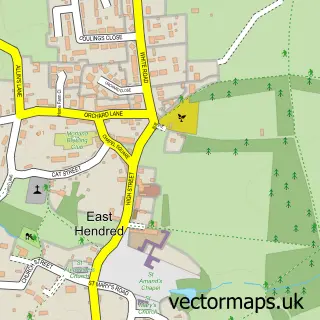
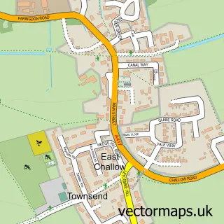
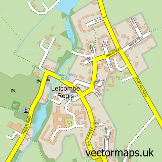
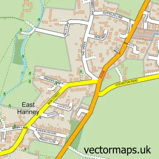
Nearby street map samples around East Lockinge
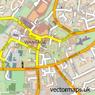

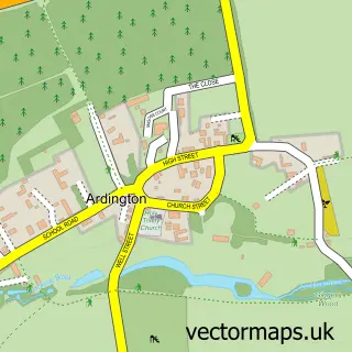
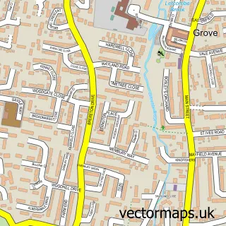
More street maps in Oxfordshire
750 metre map area coverage
Boundary, postcode and point of interest information for the 750m x 750m rectangle centred on this sample map.
Boundaries containing map centre
Constituency: Didcot and Wantage Co Const
County: Oxfordshire County
District: Vale of White Horse District
Icb: NHS Thames Valley ICB
Parish: Lockinge CP
Police Force: thames valley
Postcode District: OX12
Postcode Sector: OX12 8
Ward: Hendreds Ward
Nearby boundaries intersecting sample
Parish: Ardington CP
Postcode coverage
POI category counts
Landmark And Historical Building: 2
Attractions And Activities: 1
Automotive Services And Repair: 1
Bed And Breakfast: 1
Caterer: 1
Engineering Services: 1
Financial Advising: 1
It Service And Computer Repair: 1
Post Office: 1
Sample points of interest
- Parkinsons.me Community Garden
- Esri UK
- Barton House
- Barton House Events
- Crucible Design Ltd.
- Point to Point Financial Management
- Parkinsons Me
- East Lockinge
- East Lockinge
- Radiocarbon Dating
Create a larger editable map of East Lockinge
This sample shows only a 750 metre area. To create a larger map of East Lockinge, use our map builder to choose your own coverage area, add titles and download editable SVG, PDF and PNG files.
Create a custom map of East Lockinge