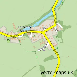
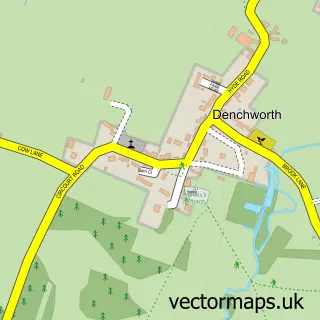
This Letcombe Regis street map is a detailed vector street map covering a 750m x 750m area. Select a larger area to create and download your own vector street map of Letcombe Regis.
The 750-metre map sample for Letcombe Regis covers 205 mapped buildings and approximately 11.8 km of road detail, of which 17 named roads are named. The immediate area includes 2 GP surgeries within 2 miles, 1 pub and 5 MOT stations within 2 miles. The wider area around Letcombe Regis features 1 food and drink venue. To create a larger or custom map of Letcombe Regis, the map builder lets you define your own coverage area and download editable SVG, PDF and PNG files.
Create a larger editable map of Letcombe Regis
Choose any area you need and generate a high-quality vector map instantly. Perfect for print, planning, design, business and personal use.

This Letcombe Regis street map in Oxfordshire is available as downloadable SVG, PDF and PNG map files, or as a printed map for planning, business, display, education, local information and design work. You can also create a larger custom map area using the map selector.
What this Letcombe Regis map sample shows
Letcombe Regis lies within Letcombe Regis Cp parish, part of Ridgeway ward in the Vale Of White Horse District local authority area. The postcode geography for this area includes the OX postcode area, the OX12 postcode district and the OX12 9 postcode sector. Residents fall under the Nhs Buckinghamshire, Oxfordshire And Berkshire West Integrated Care Board for NHS services.
Local features near Letcombe Regis
Within 2 milesAmenities and services in and around Letcombe Regis.
Administrative and postcode information for Letcombe Regis
Letcombe Regis lies within Letcombe Regis Cp parish, part of Ridgeway ward in the Vale Of White Horse District local authority area. The postcode geography for this area includes the OX postcode area, the OX12 postcode district and the OX12 9 postcode sector. Residents fall under the Nhs Buckinghamshire, Oxfordshire And Berkshire West Integrated Care Board for NHS services.
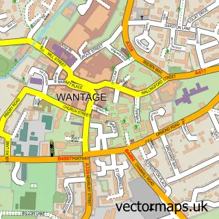
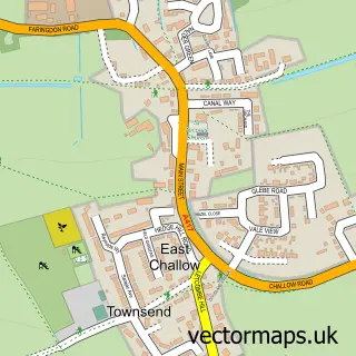
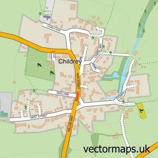
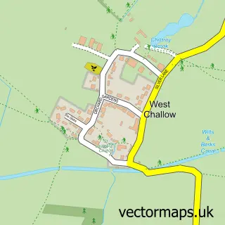
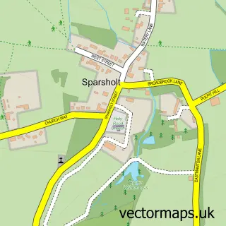
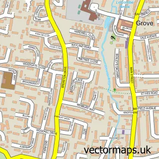
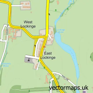
Nearby street map samples around Letcombe Regis

More street maps in Oxfordshire
750 metre map area coverage
Boundary, postcode and point of interest information for the 750m x 750m rectangle centred on this sample map.
Boundaries containing map centre
Constituency: Didcot and Wantage Co Const
County: Oxfordshire County
District: Vale of White Horse District
Icb: NHS Thames Valley ICB
Parish: Letcombe Regis CP
Police Force: thames valley
Postcode District: OX12
Postcode Sector: OX12 9
Ward: Ridgeway Ward
Nearby boundaries intersecting sample
No additional intersecting boundaries found.
Postcode coverage
POI category counts
Sports Club And League: 2
Advertising Agency: 1
Anglican Church: 1
Automotive Dealer: 1
Automotive Repair: 1
Bar: 1
Chiropractor: 1
Community Center: 1
Equestrian Facility: 1
Gift Shop: 1
Sample points of interest
- C D Associates
- Letcombe Regis: St Andrew
- Maundrell
- MID Engineering
- The Shed
- Espina Chiropractic Clinic
- Letcombe Regis Village Hall
- Letcombe Regis Riding Club
- Country and Home
- Wellnes Spa
- Carphone Warehouse
- Mel Taylor Photography
Create a larger editable map of Letcombe Regis
This sample shows only a 750 metre area. To create a larger map of Letcombe Regis, use our map builder to choose your own coverage area, add titles and download editable SVG, PDF and PNG files.
Create a custom map of Letcombe Regis