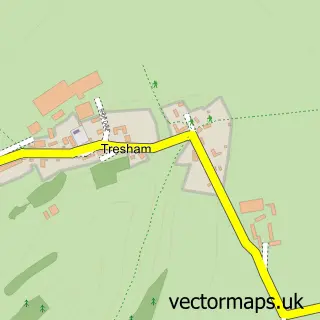
This Didmarton street map is a detailed vector street map covering a 750m x 750m area. Select a larger area to create and download your own vector street map of Didmarton.
The 750-metre map sample for Didmarton covers 151 mapped buildings and approximately 7.7 km of road detail, of which 4 named roads are named. The immediate area includes 1 pub and 1 MOT station within 2 miles. The wider area around Didmarton features 1 tourism point of interest, 2 food and drink venues and 1 campsite within 2 miles. To create a larger or custom map of Didmarton, the map builder lets you define your own coverage area and download editable SVG, PDF and PNG files.
Create a larger editable map of Didmarton
Choose any area you need and generate a high-quality vector map instantly. Perfect for print, planning, design, business and personal use.

This Didmarton street map in Gloucestershire is available as downloadable SVG, PDF and PNG map files, or as a printed map for planning, business, display, education, local information and design work. You can also create a larger custom map area using the map selector.
What this Didmarton map sample shows
Didmarton lies within Didmarton Cp parish, part of Grumbolds Ash With Avening ward in the Cotswold District local authority area. The postcode geography for this area includes the GL postcode area, the GL9 postcode district and the GL9 1 postcode sector. Residents fall under the Nhs Gloucestershire Integrated Care Board for NHS services.
Local features near Didmarton
Within 2 milesAmenities and services in and around Didmarton.
Administrative and postcode information for Didmarton
Didmarton lies within Didmarton Cp parish, part of Grumbolds Ash With Avening ward in the Cotswold District local authority area. The postcode geography for this area includes the GL postcode area, the GL9 postcode district and the GL9 1 postcode sector. Residents fall under the Nhs Gloucestershire Integrated Care Board for NHS services.
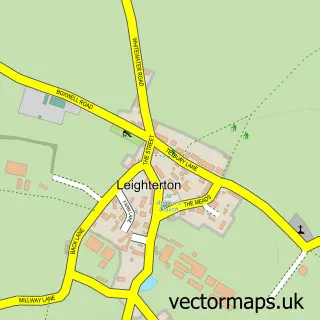
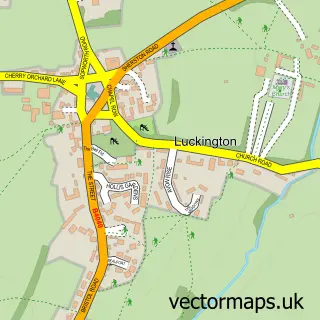
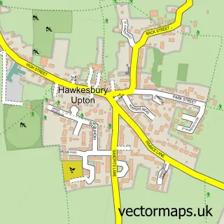
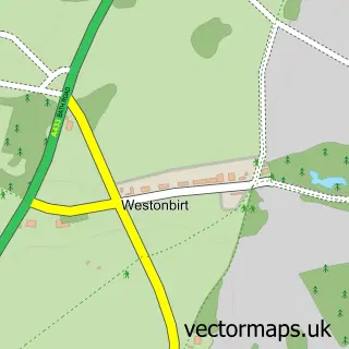
Nearby street map samples around Didmarton

More street maps in Gloucestershire
750 metre map area coverage
Boundary, postcode and point of interest information for the 750m x 750m rectangle centred on this sample map.
Boundaries containing map centre
Constituency: South Cotswolds Co Const
County: Gloucestershire County
District: Cotswold District
Icb: NHS Gloucestershire ICB
Parish: Didmarton CP
Police Force: gloucestershire
Postcode District: GL9
Postcode Sector: GL9 1
Ward: Grumbolds Ash with Avening Ward
Nearby boundaries intersecting sample
District: Wiltshire
Icb: NHS Bath and North East Somerset Swindon and Wiltshire ICB
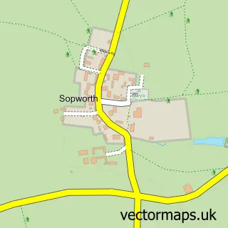
Parish: Sopworth CP
Police Force: wiltshire
Postcode coverage
POI category counts
Anglican Church: 1
Bed And Breakfast: 1
Coffee Shop: 1
Event Planning: 1
Insurance Agency: 1
Landmark And Historical Building: 1
Landscape Architect: 1
Pub: 1
Race Track: 1
Sample points of interest
- St Lawrence
- The Kings Arms
- Coffee & Bee
- Didmarton Village Hall
- John Pearce Insurance Services
- Didmarton
- Mecala Ltd.
- The Kings Arms
- Beaufort Races at Didmarton
Create a larger editable map of Didmarton
This sample shows only a 750 metre area. To create a larger map of Didmarton, use our map builder to choose your own coverage area, add titles and download editable SVG, PDF and PNG files.
Create a custom map of Didmarton