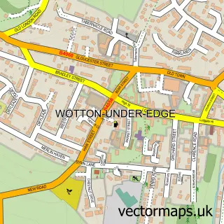
This Hawkesbury Upton street map is a detailed vector street map covering a 750m x 750m area. Select a larger area to create and download your own vector street map of Hawkesbury Upton.
The 750-metre map sample for Hawkesbury Upton covers 297 mapped buildings and approximately 10.2 km of road detail, of which 14 named roads are named. The immediate area includes 1 school and 3 pubs. The wider area around Hawkesbury Upton features 3 food and drink venues. To create a larger or custom map of Hawkesbury Upton, the map builder lets you define your own coverage area and download editable SVG, PDF and PNG files.
Create a larger editable map of Hawkesbury Upton
Choose any area you need and generate a high-quality vector map instantly. Perfect for print, planning, design, business and personal use.

This Hawkesbury Upton street map in Gloucestershire is available as downloadable SVG, PDF and PNG map files, or as a printed map for planning, business, display, education, local information and design work. You can also create a larger custom map area using the map selector.
What this Hawkesbury Upton map sample shows
Hawkesbury Upton lies within Hawkesbury Cp parish, part of Chipping Sodbury & Cotswold Edge ward in the South Gloucestershire local authority area. The postcode geography for this area includes the GL postcode area, the GL9 postcode district and the GL9 1 postcode sector. Residents fall under the Nhs Bristol, North Somerset And South Gloucestershire Integrated Care Board for NHS services.
Local features near Hawkesbury Upton
Within 2 milesAmenities and services in and around Hawkesbury Upton.
Administrative and postcode information for Hawkesbury Upton
Hawkesbury Upton lies within Hawkesbury Cp parish, part of Chipping Sodbury & Cotswold Edge ward in the South Gloucestershire local authority area. The postcode geography for this area includes the GL postcode area, the GL9 postcode district and the GL9 1 postcode sector. Residents fall under the Nhs Bristol, North Somerset And South Gloucestershire Integrated Care Board for NHS services.
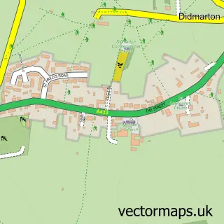
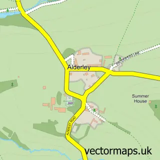
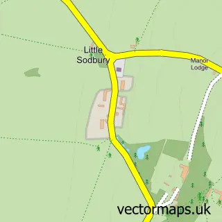
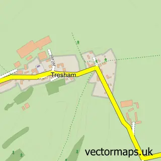
Nearby street map samples around Hawkesbury Upton

More street maps in Gloucestershire
750 metre map area coverage
Boundary, postcode and point of interest information for the 750m x 750m rectangle centred on this sample map.
Boundaries containing map centre
Constituency: Thornbury and Yate Co Const
District: South Gloucestershire
Icb: NHS Bristol North Somerset and South Gloucestershire ICB
Parish: Hawkesbury CP
Police Force: avon and somerset
Postcode District: GL9
Postcode Sector: GL9 1
Ward: Chipping Sodbury & Cotswold Edge Ward
Nearby boundaries intersecting sample
No additional intersecting boundaries found.
Postcode coverage
POI category counts
Pub: 3
Sports Club And League: 2
Accommodation: 1
Convenience Store: 1
Graphic Designer: 1
Pizza Restaurant: 1
Post Office: 1
Recycling Center: 1
Retirement Home: 1
Tutoring Center: 1
Sample points of interest
- The Cattle Byre at Highfield Farm
- Hawkesbury Stores
- In2orbit Design Ltd.
- Poppy & Boo
- Hawkesbury Upton Post Office
- Beaufort Arms
- The Fox Inn
- The Fox Inn
- Cotswold Recycling Company
- Beaufort Care Ltd
- Hawkesbury Cricket Club
- Hawkesbury Upton Tennis Club
Create a larger editable map of Hawkesbury Upton
This sample shows only a 750 metre area. To create a larger map of Hawkesbury Upton, use our map builder to choose your own coverage area, add titles and download editable SVG, PDF and PNG files.
Create a custom map of Hawkesbury Upton