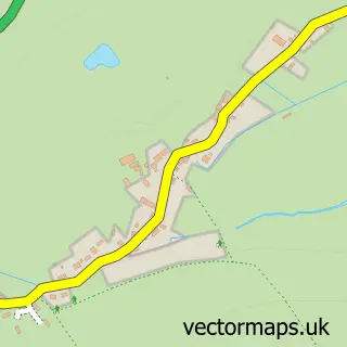
This Dilwyn street map is a detailed vector street map covering a 750m x 750m area. Select a larger area to create and download your own vector street map of Dilwyn.
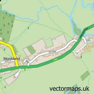
The 750-metre map sample for Dilwyn covers 131 mapped buildings and approximately 39.1 km of road detail, of which 5 named roads are named. The immediate area includes 1 school, 1 pub and 1 MOT station within 2 miles. The wider area around Dilwyn features 1 food and drink venue. To create a larger or custom map of Dilwyn, the map builder lets you define your own coverage area and download editable SVG, PDF and PNG files.
Create a larger editable map of Dilwyn
Choose any area you need and generate a high-quality vector map instantly. Perfect for print, planning, design, business and personal use.

This Dilwyn street map in Herefordshire is available as downloadable SVG, PDF and PNG map files, or as a printed map for planning, business, display, education, local information and design work. You can also create a larger custom map area using the map selector.
What this Dilwyn map sample shows
Dilwyn lies within Dilwyn Cp parish, part of Weobley ward in the County Of Herefordshire local authority area. The postcode geography for this area includes the HR postcode area, the HR4 postcode district and the HR4 8 postcode sector. Residents fall under the Nhs Herefordshire And Worcestershire Integrated Care Board for NHS services.
Local features near Dilwyn
Within 2 milesAmenities and services in and around Dilwyn.
Administrative and postcode information for Dilwyn
Dilwyn lies within Dilwyn Cp parish, part of Weobley ward in the County Of Herefordshire local authority area. The postcode geography for this area includes the HR postcode area, the HR4 postcode district and the HR4 8 postcode sector. Residents fall under the Nhs Herefordshire And Worcestershire Integrated Care Board for NHS services.
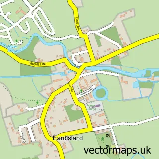
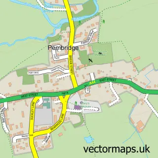
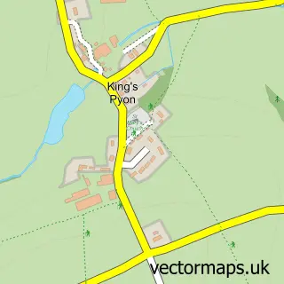
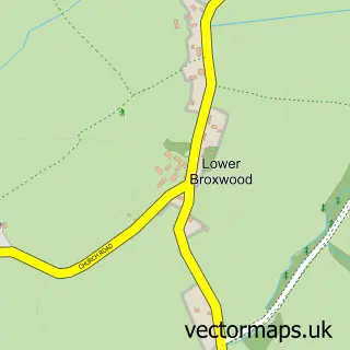
Nearby street map samples around Dilwyn

More street maps in Herefordshire
750 metre map area coverage
Boundary, postcode and point of interest information for the 750m x 750m rectangle centred on this sample map.
Boundaries containing map centre
Constituency: North Herefordshire Co Const
District: County of Herefordshire
Icb: NHS Herefordshire and Worcestershire ICB
Parish: Dilwyn CP
Police Force: west mercia
Postcode District: HR4
Postcode Sector: HR4 8
Ward: Weobley Ward
Nearby boundaries intersecting sample
No additional intersecting boundaries found.
Postcode coverage
POI category counts
Active Life: 1
Anglican Church: 1
Community Center: 1
Holiday Rental Home: 1
Hvac Services: 1
Hvac Supplier: 1
Pub: 1
Veterinarian: 1
Sample points of interest
- New Farm Shepherds Huts and Camping
- Dilwyn: St Mary the Virgin
- Dilwyn Cedar Hall
- Peel Cottage
- P C Stilwell
- Peter C Stilwell
- The Crown Inn Dilwyn
- Hilltop Boarding Cattery
Create a larger editable map of Dilwyn
This sample shows only a 750 metre area. To create a larger map of Dilwyn, use our map builder to choose your own coverage area, add titles and download editable SVG, PDF and PNG files.
Create a custom map of Dilwyn