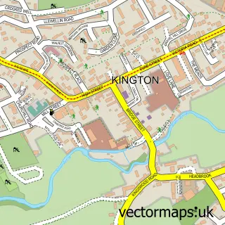
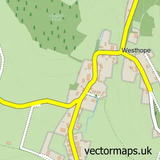
This Weobley street map is a detailed vector street map covering a 750m x 750m area. Select a larger area to create and download your own vector street map of Weobley.
The 750-metre map sample for Weobley covers 335 mapped buildings and approximately 45.8 km of road detail, of which 22 named roads are named. The immediate area includes 1 school, 1 GP surgery and 1 pub. The wider area around Weobley features 1 tourism point of interest, 3 food and drink venues and 1 hotel. To create a larger or custom map of Weobley, the map builder lets you define your own coverage area and download editable SVG, PDF and PNG files.
Create a larger editable map of Weobley
Choose any area you need and generate a high-quality vector map instantly. Perfect for print, planning, design, business and personal use.

This Weobley street map in Herefordshire is available as downloadable SVG, PDF and PNG map files, or as a printed map for planning, business, display, education, local information and design work. You can also create a larger custom map area using the map selector.
What this Weobley map sample shows
Weobley lies within Weobley Cp parish, part of Weobley ward in the County Of Herefordshire local authority area. The postcode geography for this area includes the HR postcode area, the HR4 postcode district and the HR4 8 postcode sector. Residents fall under the Nhs Herefordshire And Worcestershire Integrated Care Board for NHS services.
Local features near Weobley
Within 2 milesAmenities and services in and around Weobley.
Administrative and postcode information for Weobley
Weobley lies within Weobley Cp parish, part of Weobley ward in the County Of Herefordshire local authority area. The postcode geography for this area includes the HR postcode area, the HR4 postcode district and the HR4 8 postcode sector. Residents fall under the Nhs Herefordshire And Worcestershire Integrated Care Board for NHS services.
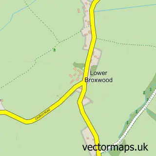
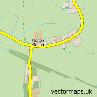
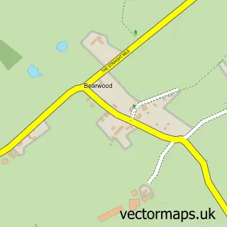
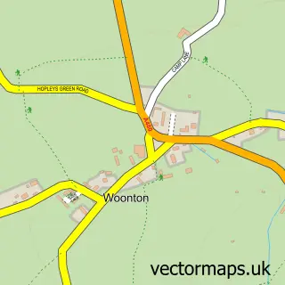
Nearby street map samples around Weobley

More street maps in Herefordshire
750 metre map area coverage
Boundary, postcode and point of interest information for the 750m x 750m rectangle centred on this sample map.
Boundaries containing map centre
Constituency: North Herefordshire Co Const
District: County of Herefordshire
Icb: NHS Herefordshire and Worcestershire ICB
Parish: Weobley CP
Police Force: west mercia
Postcode District: HR4
Postcode Sector: HR4 8
Ward: Weobley Ward
Nearby boundaries intersecting sample
No additional intersecting boundaries found.
Postcode coverage
POI category counts
Beauty Salon: 3
Bed And Breakfast: 2
Church Cathedral: 2
Convenience Store: 2
Doctor: 2
Accommodation: 1
Automotive Repair: 1
Bar: 1
Beauty And Spa: 1
Brewery: 1
Sample points of interest
- Garnstone Castle
- Portland Garage
- Unicorn Inn
- Julie Neave Ltd at London House Hair Studio
- Apricot Beaute
- Beauty on Broad Street
- London House Hair Studio
- Mellington House
- The Gables
- The Weobley Brewing Company
- Harrison & Pope
- Mark Hurds Butchers Ltd.
Create a larger editable map of Weobley
This sample shows only a 750 metre area. To create a larger map of Weobley, use our map builder to choose your own coverage area, add titles and download editable SVG, PDF and PNG files.
Create a custom map of Weobley