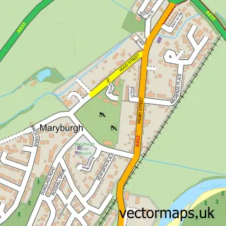
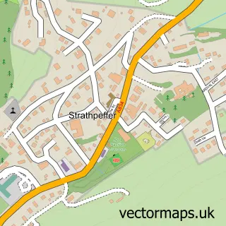
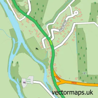
This Dingwall street map is a detailed vector street map covering a 750m x 750m area. Select a larger area to create and download your own vector street map of Dingwall.
The 750-metre map sample for Dingwall covers 115 mapped buildings and approximately 18.4 km of road detail, of which 34 named roads are named. The immediate area includes 1 railway station, 1 GP surgery within 2 miles, 3 pubs and 2 MOT stations, with 4 within 2 miles. The wider area around Dingwall features 2 tourism points of interest, 14 food and drink venues and 6 hotels. To create a larger or custom map of Dingwall, the map builder lets you define your own coverage area and download editable SVG, PDF and PNG files.
Create a larger editable map of Dingwall
Choose any area you need and generate a high-quality vector map instantly. Perfect for print, planning, design, business and personal use.

This Dingwall street map in Ross and Cromarty is available as downloadable SVG, PDF and PNG map files, or as a printed map for planning, business, display, education, local information and design work. You can also create a larger custom map area using the map selector.
What this Dingwall map sample shows
Dingwall lies within Highland parish, part of Dingwall And Seaforth ward in the Highland local authority area. The postcode geography for this area includes the IV postcode area, the IV15 postcode district and the IV15 9 postcode sector. Residents fall under the Highland for NHS services.
Local features near Dingwall
Within 2 milesAmenities and services in and around Dingwall.
Administrative and postcode information for Dingwall
Dingwall lies within Highland parish, part of Dingwall And Seaforth ward in the Highland local authority area. The postcode geography for this area includes the IV postcode area, the IV15 postcode district and the IV15 9 postcode sector. Residents fall under the Highland for NHS services.
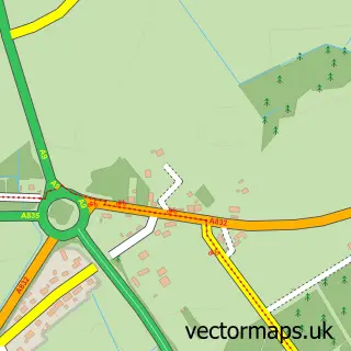
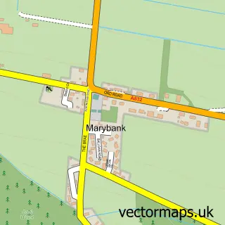
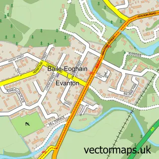
Nearby street map samples around Dingwall

More street maps in Ross and Cromarty
750 metre map area coverage
Boundary, postcode and point of interest information for the 750m x 750m rectangle centred on this sample map.
Boundaries containing map centre
Constituency: Caithness, Sutherland and Easter Ross Co Const
District: Highland
Icb: Highland
Postcode District: IV15
Postcode Sector: IV15 9
Ward: Dingwall and Seaforth Ward
Nearby boundaries intersecting sample
No additional intersecting boundaries found.
Postcode coverage
POI category counts
Clothing Store: 8
Barber: 7
Beauty Salon: 6
Dentist: 6
Hair Salon: 6
Hotel: 6
Restaurant: 5
Antique Store: 4
Automotive Repair: 4
Butcher Shop: 4
Sample points of interest
- Macdowall & Co.
- Unit6Fitness: Dingwall
- Hill House Studio
- British Red Cross
- Objet D'art
- Sue Ryder Care
- The Greenhouse
- Highland Architecture
- Highland Architecture
- Matheson Macenzie Ross
- Alchemist Gallery
- Pet Portraits & Pyrography By Ali Cameron
Create a larger editable map of Dingwall
This sample shows only a 750 metre area. To create a larger map of Dingwall, use our map builder to choose your own coverage area, add titles and download editable SVG, PDF and PNG files.
Create a custom map of Dingwall