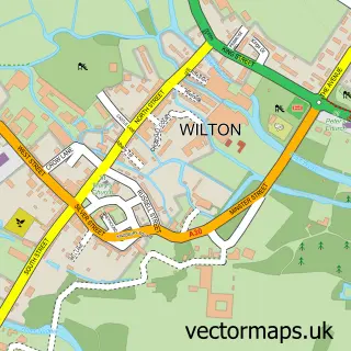
This Dinton street map is a detailed vector street map covering a 750m x 750m area. Select a larger area to create and download your own vector street map of Dinton.
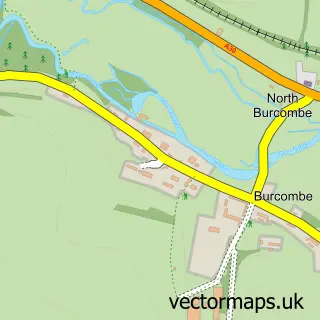
The 750-metre map sample for Dinton covers 178 mapped buildings and approximately 6.4 km of road detail, of which 6 named roads are named. The immediate area includes 1 school and 1 MOT station within 2 miles. The wider area around Dinton features 3 tourism points of interest. To create a larger or custom map of Dinton, the map builder lets you define your own coverage area and download editable SVG, PDF and PNG files.
Create a larger editable map of Dinton
Choose any area you need and generate a high-quality vector map instantly. Perfect for print, planning, design, business and personal use.

This Dinton street map in Wiltshire is available as downloadable SVG, PDF and PNG map files, or as a printed map for planning, business, display, education, local information and design work. You can also create a larger custom map area using the map selector.
What this Dinton map sample shows
Dinton lies within Dinton Cp parish, part of Nadder And East Knoyle ward in the Wiltshire local authority area. The postcode geography for this area includes the SP postcode area, the SP3 postcode district and the SP3 5 postcode sector. Residents fall under the Nhs Bath And North East Somerset, Swindon And Wiltshire Integrated Care Board for NHS services.
Local features near Dinton
Within 2 milesAmenities and services in and around Dinton.
Administrative and postcode information for Dinton
Dinton lies within Dinton Cp parish, part of Nadder And East Knoyle ward in the Wiltshire local authority area. The postcode geography for this area includes the SP postcode area, the SP3 postcode district and the SP3 5 postcode sector. Residents fall under the Nhs Bath And North East Somerset, Swindon And Wiltshire Integrated Care Board for NHS services.
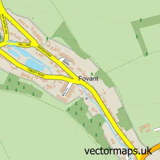
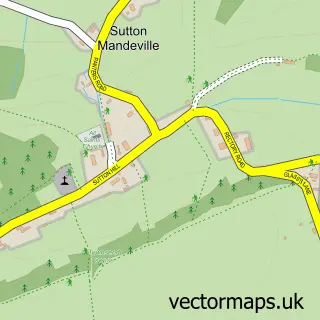
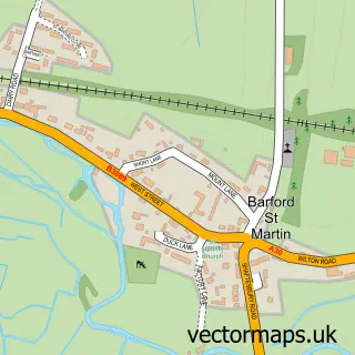
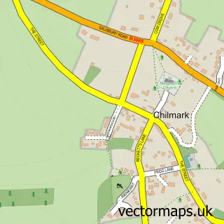
Nearby street map samples around Dinton

More street maps in Wiltshire
750 metre map area coverage
Boundary, postcode and point of interest information for the 750m x 750m rectangle centred on this sample map.
Boundaries containing map centre
Constituency: Salisbury Co Const
District: Wiltshire
Icb: NHS Bath and North East Somerset Swindon and Wiltshire ICB
Parish: Dinton CP
Police Force: wiltshire
Postcode District: SP3
Postcode Sector: SP3 5
Nearby boundaries intersecting sample
No additional intersecting boundaries found.
Postcode coverage
POI category counts
Attractions And Activities: 1
Automotive Repair: 1
Carpenter: 1
Community Center: 1
Construction Services: 1
Convenience Store: 1
Counseling And Mental Health: 1
Elementary School: 1
Flooring Contractors: 1
Landmark And Historical Building: 1
Sample points of interest
- Little Clarendon
- Bodytech Restoration
- Domoney Woodwork
- Dinton Village Hall
- MJ Abbott Ltd
- Dinton Community Shop
- Jenny Holmes Counselling Services
- Dinton Primary School
- M J Abbott
- Philipps House
- Dinton Recreation Ground
- Room Tech Ltd.
Create a larger editable map of Dinton
This sample shows only a 750 metre area. To create a larger map of Dinton, use our map builder to choose your own coverage area, add titles and download editable SVG, PDF and PNG files.
Create a custom map of Dinton