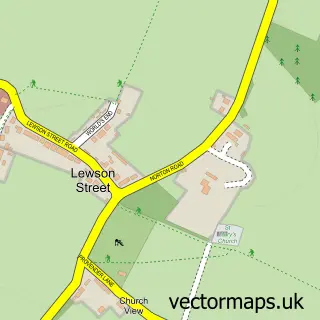
This Doddington street map is a detailed vector street map covering a 750m x 750m area. Select a larger area to create and download your own vector street map of Doddington.
The 750-metre map sample for Doddington covers 126 mapped buildings and approximately 7.3 km of road detail, of which 4 named roads are named. The immediate area includes 1 school, 2 pubs and 1 MOT station. The wider area around Doddington features 3 food and drink venues and 1 campsite within 2 miles. To create a larger or custom map of Doddington, the map builder lets you define your own coverage area and download editable SVG, PDF and PNG files.
Create a larger editable map of Doddington
Choose any area you need and generate a high-quality vector map instantly. Perfect for print, planning, design, business and personal use.

This Doddington street map in Kent is available as downloadable SVG, PDF and PNG map files, or as a printed map for planning, business, display, education, local information and design work. You can also create a larger custom map area using the map selector.
What this Doddington map sample shows
Doddington lies within Doddington Cp parish, part of East Downs ward in the Swale District (B) local authority area. The postcode geography for this area includes the ME postcode area, the ME9 postcode district and the ME9 0 postcode sector. Residents fall under the Nhs Kent And Medway Integrated Care Board for NHS services.
Local features near Doddington
Within 2 milesAmenities and services in and around Doddington.
Administrative and postcode information for Doddington
The local authority covering Doddington is Swale District (B), within the county of Kent. The settlement lies within East Downs ward and Doddington Cp civil parish. The ME9 postcode district and ME9 0 postcode sector serve the immediate area. NHS provision in the area is delivered through East Kent Hospitals University Nhs Foundation Trust.
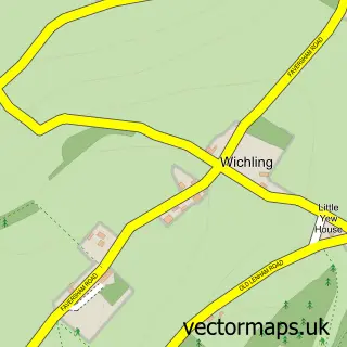
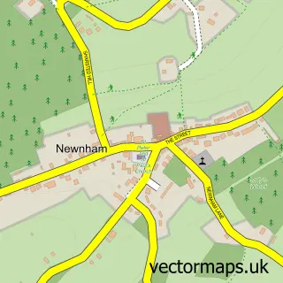
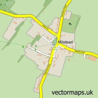
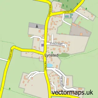
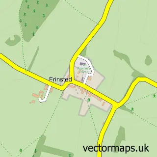
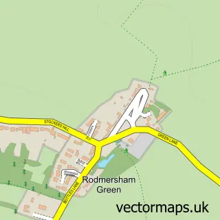
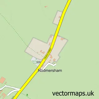
Nearby street map samples around Doddington

More street maps in Kent
750 metre map area coverage
Boundary, postcode and point of interest information for the 750m x 750m rectangle centred on this sample map.
Boundaries containing map centre
Constituency: Faversham and Mid Kent Co Const
County: Kent County
District: Swale District (B)
Icb: NHS Kent and Medway ICB
Parish: Doddington CP
Police Force: kent
Postcode District: ME9
Postcode Sector: ME9 0
Ward: East Downs Ward
Nearby boundaries intersecting sample
No additional intersecting boundaries found.
Postcode coverage
POI category counts
Church Cathedral: 2
Pub: 2
Accountant: 1
Auto Parts And Supply Store: 1
Automotive Repair: 1
Butcher Shop: 1
Driving School: 1
Elementary School: 1
Energy Company: 1
Gas Station: 1
Sample points of interest
- Penn Accountants & Tax Consultants
- Doddington Service Station Ltd.
- Doddington Service Station
- S W Doughty
- Doddington St John the Baptist
- Wychling St Margarets C of E Church
- Asap
- Infiniti School
- Connected Kerb Charging Stations
- Murco
- Up The Garden Chillies
- Chequers Inn
Create a larger editable map of Doddington
This sample shows only a 750 metre area. To create a larger map of Doddington, use our map builder to choose your own coverage area, add titles and download editable SVG, PDF and PNG files.
Create a custom map of Doddington