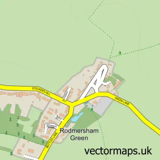
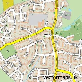
This Sittingbourne street map is a detailed vector street map covering a 750m x 750m area. Select a larger area to create and download your own vector street map of Sittingbourne.
The 750-metre map sample for Sittingbourne covers 309 mapped buildings and approximately 20.7 km of road detail, of which 37 named roads are named. The immediate area includes 1 school, 1 railway station, 7 GP surgeries within 2 miles and 15 pubs among other local services. The wider area around Sittingbourne features 5 tourism points of interest, 34 food and drink venues and 2 hotels. To create a larger or custom map of Sittingbourne, the map builder lets you define your own coverage area and download editable SVG, PDF and PNG files.
Create a larger editable map of Sittingbourne
Choose any area you need and generate a high-quality vector map instantly. Perfect for print, planning, design, business and personal use.

This Sittingbourne street map in Kent is available as downloadable SVG, PDF and PNG map files, or as a printed map for planning, business, display, education, local information and design work. You can also create a larger custom map area using the map selector.
What this Sittingbourne map sample shows
Sittingbourne lies within Kent County parish, part of Chalkwell ward in the Swale District (B) local authority area. The postcode geography for this area includes the ME postcode area, the ME10 postcode district and the ME10 3 postcode sector. Residents fall under the Nhs Kent And Medway Integrated Care Board for NHS services.
Local features near Sittingbourne
Within 2 milesAmenities and services in and around Sittingbourne.
Administrative and postcode information for Sittingbourne
Sittingbourne lies within Kent County parish, part of Chalkwell ward in the Swale District (B) local authority area. The postcode geography for this area includes the ME postcode area, the ME10 postcode district and the ME10 3 postcode sector. Residents fall under the Nhs Kent And Medway Integrated Care Board for NHS services.
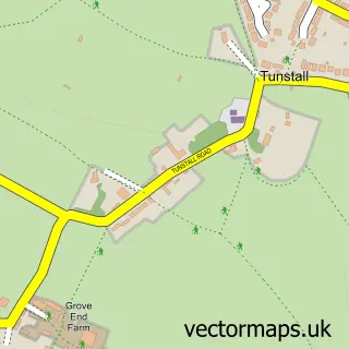
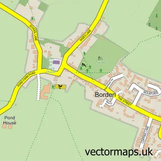
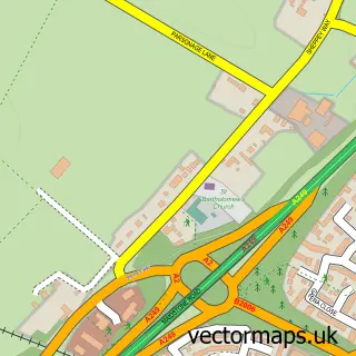
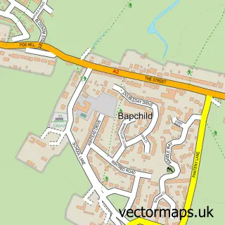
Nearby street map samples around Sittingbourne

More street maps in Kent
750 metre map area coverage
Boundary, postcode and point of interest information for the 750m x 750m rectangle centred on this sample map.
Boundaries containing map centre
Constituency: Sittingbourne and Sheppey Co Const
County: Kent County
District: Swale District (B)
Icb: NHS Kent and Medway ICB
Police Force: kent
Postcode District: ME10
Postcode Sector: ME10 4
Ward: Homewood Ward
Nearby boundaries intersecting sample
Postcode Sector: ME10 1, ME10 2, ME10 3
Ward: Chalkwell Ward, Roman Ward, Woodstock Ward
Postcode coverage
POI category counts
Pub: 15
Real Estate Agent: 14
Beauty Salon: 13
Hair Salon: 11
Professional Services: 11
Clothing Store: 10
Beauty And Spa: 8
Cafe: 8
Charity Organization: 8
Church Cathedral: 8
Sample points of interest
- AJ Accounting Services
- McCabe Ford Williams
- UHY Hacker Young (Sittingbourne)
- Kca
- Marketing Events & Travel
- The Image Directory
- Nando’s
- Independent Cabs Of Sittingbourne ( Indy Cabs )
- Indy Cabs of Sittingbourne
- Olympia Leisure
- Shepherd Neame Limited
- Holy Trinity Sittingbourne (HTSB)
Create a larger editable map of Sittingbourne
This sample shows only a 750 metre area. To create a larger map of Sittingbourne, use our map builder to choose your own coverage area, add titles and download editable SVG, PDF and PNG files.
Create a custom map of Sittingbourne