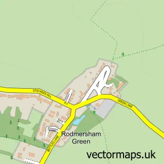
This Kemsley street map is a detailed vector street map covering a 750m x 750m area. Select a larger area to create and download your own vector street map of Kemsley.
The 750-metre map sample for Kemsley covers 408 mapped buildings and approximately 17.6 km of road detail, of which 38 named roads are named. The immediate area includes 1 school, 1 railway station, 1 GP surgery, with 7 within 2 miles and 2 pubs among other local services. The wider area around Kemsley features 1 tourism point of interest and 3 food and drink venues. To create a larger or custom map of Kemsley, the map builder lets you define your own coverage area and download editable SVG, PDF and PNG files.
Create a larger editable map of Kemsley
Choose any area you need and generate a high-quality vector map instantly. Perfect for print, planning, design, business and personal use.

This Kemsley street map in Kent is available as downloadable SVG, PDF and PNG map files, or as a printed map for planning, business, display, education, local information and design work. You can also create a larger custom map area using the map selector.
What this Kemsley map sample shows
Kemsley lies within Kent County parish, part of Kemsley ward in the Swale District (B) local authority area. The postcode geography for this area includes the ME postcode area, the ME10 postcode district and the ME10 2 postcode sector. Residents fall under the Nhs Kent And Medway Integrated Care Board for NHS services.
Local features near Kemsley
Within 2 milesAmenities and services in and around Kemsley.
Administrative and postcode information for Kemsley
The local authority covering Kemsley is Swale District (B), within the county of Kent. The settlement lies within Kemsley ward and Kent County civil parish. The ME10 postcode district and ME10 2 postcode sector serve the immediate area. NHS provision in the area is delivered through Medway Nhs Foundation Trust.
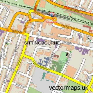
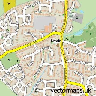
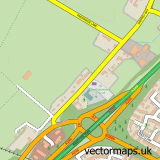
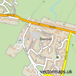
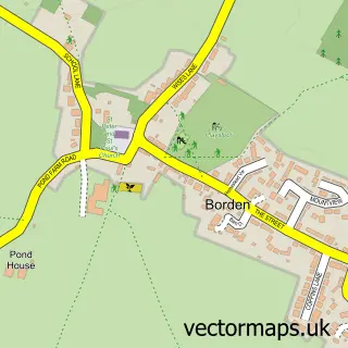
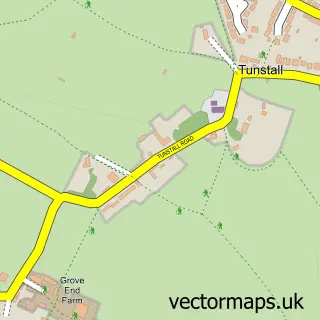
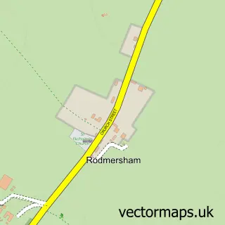
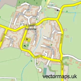
Nearby street map samples around Kemsley

More street maps in Kent
750 metre map area coverage
Boundary, postcode and point of interest information for the 750m x 750m rectangle centred on this sample map.
Boundaries containing map centre
Constituency: Sittingbourne and Sheppey Co Const
County: Kent County
District: Swale District (B)
Icb: NHS Kent and Medway ICB
Police Force: kent
Postcode District: ME10
Postcode Sector: ME10 2
Ward: Kemsley Ward
Nearby boundaries intersecting sample
Postcode District: ME9
Postcode Sector: ME9 8
Postcode coverage
POI category counts
Train Station: 4
Auto Customization: 2
Auto Loan Provider: 2
Doctor: 2
Party Supply: 2
Post Office: 2
Professional Services: 2
Pub: 2
Religious Organization: 2
Retail: 2
Sample points of interest
- Star Academy Dance & Performing Arts School
- Cartref Homes
- PayPoint
- Carbon Motive Ltd
- WG Motorworks
- Link Mortgage Services
- Prospect Tree Financial Services
- Wallbrook Performance
- T’s Treats
- M J Butler
- Rainbow Cafe
- RG Motorsport
Create a larger editable map of Kemsley
This sample shows only a 750 metre area. To create a larger map of Kemsley, use our map builder to choose your own coverage area, add titles and download editable SVG, PDF and PNG files.
Create a custom map of Kemsley