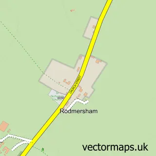
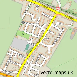
This Rodmersham Green street map is a detailed vector street map covering a 750m x 750m area. Select a larger area to create and download your own vector street map of Rodmersham Green.
The 750-metre map sample for Rodmersham Green covers 82 mapped buildings and approximately 4.1 km of road detail, of which 6 named roads are named. The immediate area includes 1 school, 4 GP surgeries within 2 miles, 1 pub and 14 MOT stations within 2 miles. The wider area around Rodmersham Green features 3 food and drink venues. To create a larger or custom map of Rodmersham Green, the map builder lets you define your own coverage area and download editable SVG, PDF and PNG files.
Create a larger editable map of Rodmersham Green
Choose any area you need and generate a high-quality vector map instantly. Perfect for print, planning, design, business and personal use.

This Rodmersham Green street map in Kent is available as downloadable SVG, PDF and PNG map files, or as a printed map for planning, business, display, education, local information and design work. You can also create a larger custom map area using the map selector.
What this Rodmersham Green map sample shows
Rodmersham Green lies within Rodmersham Cp parish, part of West Downs ward in the Swale District (B) local authority area. The postcode geography for this area includes the ME postcode area, the ME9 postcode district and the ME9 0 postcode sector. Residents fall under the Nhs Kent And Medway Integrated Care Board for NHS services.
Local features near Rodmersham Green
Within 2 milesAmenities and services in and around Rodmersham Green.
Administrative and postcode information for Rodmersham Green
Rodmersham Green lies within Rodmersham Cp parish, part of West Downs ward in the Swale District (B) local authority area. The postcode geography for this area includes the ME postcode area, the ME9 postcode district and the ME9 0 postcode sector. Residents fall under the Nhs Kent And Medway Integrated Care Board for NHS services.
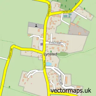
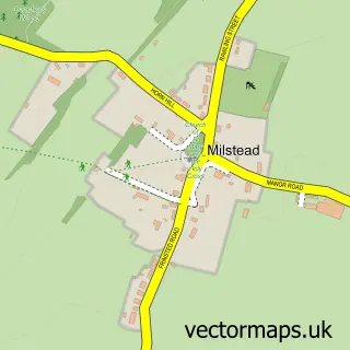
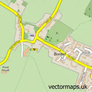
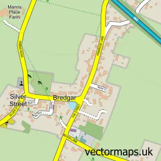
Nearby street map samples around Rodmersham Green

More street maps in Kent
750 metre map area coverage
Boundary, postcode and point of interest information for the 750m x 750m rectangle centred on this sample map.
Boundaries containing map centre
Constituency: Faversham and Mid Kent Co Const
County: Kent County
District: Swale District (B)
Icb: NHS Kent and Medway ICB
Parish: Rodmersham CP
Police Force: kent
Postcode District: ME9
Postcode Sector: ME9 0
Ward: West Downs Ward
Nearby boundaries intersecting sample
No additional intersecting boundaries found.
Postcode coverage
POI category counts
Cabin: 1
Cafe: 1
Coffee Shop: 1
Community Center: 1
Dog Walkers: 1
Driving School: 1
Elementary School: 1
Funeral Services And Cemeteries: 1
Pub: 1
Shopping: 1
Sample points of interest
- Green Cottages
- Rodmersham Village Stores
- Rodmersham Coffee Shop
- Rodmersham Village Hall
- Bethy's Dog Walking
- driveJohnson's Sittingbourne
- Rodmersham Primary School
- Mid Kent Memorials
- The Fruiterers Arms
- Green Cottages Kitchen
Create a larger editable map of Rodmersham Green
This sample shows only a 750 metre area. To create a larger map of Rodmersham Green, use our map builder to choose your own coverage area, add titles and download editable SVG, PDF and PNG files.
Create a custom map of Rodmersham Green