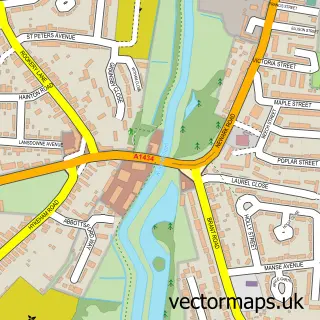
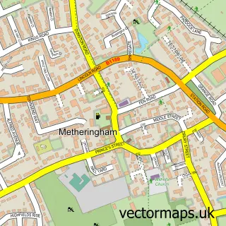
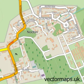
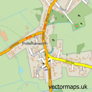
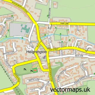
This Dunston street map is a detailed vector street map covering a 750m x 750m area. Select a larger area to create and download your own vector street map of Dunston.
The 750-metre map sample for Dunston covers 276 mapped buildings and approximately 7.1 km of road detail, of which 13 named roads are named. The immediate area includes 1 school, 1 GP surgery within 2 miles, 2 pubs and 1 MOT station, with 2 within 2 miles. The wider area around Dunston features 1 tourism point of interest and 2 food and drink venues. To create a larger or custom map of Dunston, the map builder lets you define your own coverage area and download editable SVG, PDF and PNG files.
Create a larger editable map of Dunston
Choose any area you need and generate a high-quality vector map instantly. Perfect for print, planning, design, business and personal use.

This Dunston street map in Lincolnshire is available as downloadable SVG, PDF and PNG map files, or as a printed map for planning, business, display, education, local information and design work. You can also create a larger custom map area using the map selector.
What this Dunston map sample shows
Dunston lies within Dunston Cp parish, part of Metheringham ward in the North Kesteven District local authority area. The postcode geography for this area includes the LN postcode area, the LN4 postcode district and the LN4 2 postcode sector. Residents fall under the Nhs Lincolnshire Integrated Care Board for NHS services.
Local features near Dunston
Within 2 milesAmenities and services in and around Dunston.
Administrative and postcode information for Dunston
Dunston lies within Dunston Cp parish, part of Metheringham ward in the North Kesteven District local authority area. The postcode geography for this area includes the LN postcode area, the LN4 postcode district and the LN4 2 postcode sector. Residents fall under the Nhs Lincolnshire Integrated Care Board for NHS services.
Nearby street map samples around Dunston

More street maps in Lincolnshire
750 metre map area coverage
Boundary, postcode and point of interest information for the 750m x 750m rectangle centred on this sample map.
Boundaries containing map centre
Constituency: Sleaford and North Hykeham Co Const
County: Lincolnshire County
District: North Kesteven District
Icb: NHS Lincolnshire ICB
Parish: Dunston CP
Police Force: lincolnshire
Postcode District: LN4
Postcode Sector: LN4 2
Ward: Metheringham Rural Ward
Nearby boundaries intersecting sample
No additional intersecting boundaries found.
Postcode coverage
POI category counts
Post Office: 2
Pub: 2
Advertising Agency: 1
Anglican Church: 1
Architectural Designer: 1
Campground: 1
Caterer: 1
Community Center: 1
Emissions Inspection: 1
Handicraft Shop: 1
Sample points of interest
- Projectseven
- St Peter's Dunston
- Oakwood Building Consultancy Services
- Barff Caravan Site
- Dunston Methodist Chapel
- Dunston Village Hall
- L P Bannister Motor Engineers
- Foxylady Reborn
- JSM Safety Solutions Ltd.
- Stroma Animal Feeds
- M P Lamb
- Dunston Playing Field
Create a larger editable map of Dunston
This sample shows only a 750 metre area. To create a larger map of Dunston, use our map builder to choose your own coverage area, add titles and download editable SVG, PDF and PNG files.
Create a custom map of Dunston