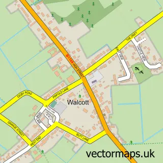
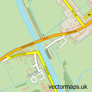
This Timberland street map is a detailed vector street map covering a 750m x 750m area. Select a larger area to create and download your own vector street map of Timberland.
The 750-metre map sample for Timberland covers 208 mapped buildings and approximately 6.9 km of road detail, of which 12 named roads are named. The immediate area includes 2 pubs and 1 MOT station within 2 miles. The wider area around Timberland features 2 food and drink venues. To create a larger or custom map of Timberland, the map builder lets you define your own coverage area and download editable SVG, PDF and PNG files.
Create a larger editable map of Timberland
Choose any area you need and generate a high-quality vector map instantly. Perfect for print, planning, design, business and personal use.

This Timberland street map in Lincolnshire is available as downloadable SVG, PDF and PNG map files, or as a printed map for planning, business, display, education, local information and design work. You can also create a larger custom map area using the map selector.
What this Timberland map sample shows
Timberland lies within Timberland Cp parish, part of Billinghay, Martin And North Kyme ward in the North Kesteven District local authority area. The postcode geography for this area includes the LN postcode area, the LN4 postcode district and the LN4 3 postcode sector. Residents fall under the Nhs Lincolnshire Integrated Care Board for NHS services.
Local features near Timberland
Within 2 milesAmenities and services in and around Timberland.
Administrative and postcode information for Timberland
The local authority covering Timberland is North Kesteven District, within the county of Lincolnshire. The settlement lies within Billinghay, Martin And North Kyme ward and Timberland Cp civil parish. The LN4 postcode district and LN4 3 postcode sector serve the immediate area. NHS provision in the area is delivered through United Lincolnshire Hospitals Nhs Trust.
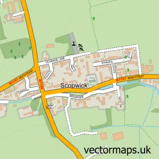
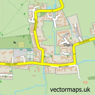
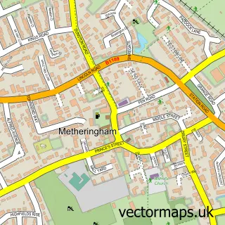
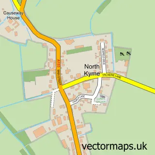
Nearby street map samples around Timberland

More street maps in Lincolnshire
750 metre map area coverage
Boundary, postcode and point of interest information for the 750m x 750m rectangle centred on this sample map.
Boundaries containing map centre
Constituency: Sleaford and North Hykeham Co Const
County: Lincolnshire County
District: North Kesteven District
Icb: NHS Lincolnshire ICB
Parish: Timberland CP
Police Force: lincolnshire
Postcode District: LN4
Postcode Sector: LN4 3
Ward: Billinghay Rural Ward
Nearby boundaries intersecting sample
No additional intersecting boundaries found.
Postcode coverage
POI category counts
Bed And Breakfast: 2
Professional Services: 2
Pub: 2
Anglican Church: 1
Arts And Crafts: 1
Bakery: 1
Clothing Store: 1
Sample points of interest
- St Andrew
- RareMagic Design - Craft and Felting Courses
- Celebration Cakes by Lisa
- Clifton House
- Clifton House
- Timberland - Timberland
- Christopher Morris Photography
- Nigel Ord-Smith Photography
- Penny Farthing Inn
- The Penny Farthing Inn
Create a larger editable map of Timberland
This sample shows only a 750 metre area. To create a larger map of Timberland, use our map builder to choose your own coverage area, add titles and download editable SVG, PDF and PNG files.
Create a custom map of Timberland