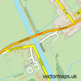
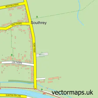
This Woodhall Spa street map is a detailed vector street map covering a 750m x 750m area. Select a larger area to create and download your own vector street map of Woodhall Spa.
The 750-metre map sample for Woodhall Spa covers 392 mapped buildings and approximately 14.1 km of road detail, of which 28 named roads are named. The immediate area includes 2 schools, 1 GP surgery, with 2 within 2 miles and 3 pubs. The wider area around Woodhall Spa features 3 tourism points of interest, 12 food and drink venues and 3 hotels. To create a larger or custom map of Woodhall Spa, the map builder lets you define your own coverage area and download editable SVG, PDF and PNG files.
Create a larger editable map of Woodhall Spa
Choose any area you need and generate a high-quality vector map instantly. Perfect for print, planning, design, business and personal use.

This Woodhall Spa street map in Lincolnshire is available as downloadable SVG, PDF and PNG map files, or as a printed map for planning, business, display, education, local information and design work. You can also create a larger custom map area using the map selector.
What this Woodhall Spa map sample shows
Woodhall Spa lies within Woodhall Spa Cp parish, part of Woodhall Spa ward in the East Lindsey District local authority area. The postcode geography for this area includes the LN postcode area, the LN10 postcode district and the LN10 6 postcode sector. Residents fall under the Nhs Lincolnshire Integrated Care Board for NHS services.
Local features near Woodhall Spa
Within 2 milesAmenities and services in and around Woodhall Spa.
Administrative and postcode information for Woodhall Spa
Woodhall Spa lies within Woodhall Spa Cp parish, part of Woodhall Spa ward in the East Lindsey District local authority area. The postcode geography for this area includes the LN postcode area, the LN10 postcode district and the LN10 6 postcode sector. Residents fall under the Nhs Lincolnshire Integrated Care Board for NHS services.
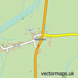
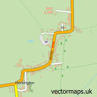
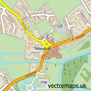
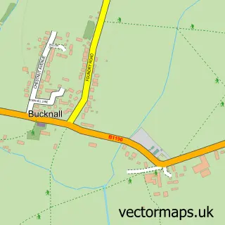
Nearby street map samples around Woodhall Spa

More street maps in Lincolnshire
750 metre map area coverage
Boundary, postcode and point of interest information for the 750m x 750m rectangle centred on this sample map.
Boundaries containing map centre
Constituency: Louth and Horncastle Co Const
County: Lincolnshire County
District: East Lindsey District
Icb: NHS Lincolnshire ICB
Parish: Woodhall Spa CP
Police Force: lincolnshire
Postcode District: LN10
Postcode Sector: LN10 6
Ward: Woodhall Spa Ward
Nearby boundaries intersecting sample
No additional intersecting boundaries found.
Postcode coverage
POI category counts
Beauty Salon: 5
Flowers And Gifts Shop: 5
Restaurant: 5
Bookstore: 4
Real Estate Agent: 4
Bed And Breakfast: 3
Hardware Store: 3
Hotel: 3
Printing Services: 3
Pub: 3
Sample points of interest
- RSPCA
- Underwood Hall
- Voc Antiques
- Fairy Crafters
- Fantasy Island Ingomells
- Lincolnshire Co-op - Woodhall Spa (001039)
- Morrisons Daily - Woodhall Spa Station Road
- Woodhall Town Bowls Club
- RightReg.co.uk Private Number Plates and Cherished Car Registrations
- The Bakery and Delicatessen
- Lloyds Bank
- 50 Shades Of Hair
Create a larger editable map of Woodhall Spa
This sample shows only a 750 metre area. To create a larger map of Woodhall Spa, use our map builder to choose your own coverage area, add titles and download editable SVG, PDF and PNG files.
Create a custom map of Woodhall Spa