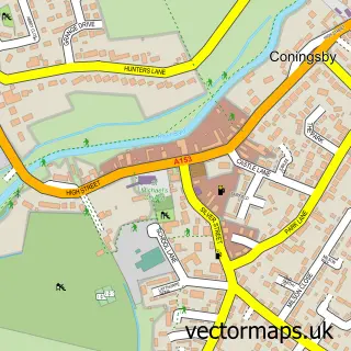
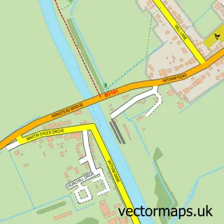
This Tattershall street map is a detailed vector street map covering a 750m x 750m area. Select a larger area to create and download your own vector street map of Tattershall.
The 750-metre map sample for Tattershall covers 313 mapped buildings and approximately 15.4 km of road detail, of which 18 named roads are named. The immediate area includes 1 school, 1 GP surgery within 2 miles, 2 pubs and 1 MOT station, with 4 within 2 miles. The wider area around Tattershall features 8 tourism points of interest, 5 food and drink venues and 5 hotels. To create a larger or custom map of Tattershall, the map builder lets you define your own coverage area and download editable SVG, PDF and PNG files.
Create a larger editable map of Tattershall
Choose any area you need and generate a high-quality vector map instantly. Perfect for print, planning, design, business and personal use.

This Tattershall street map in Lincolnshire is available as downloadable SVG, PDF and PNG map files, or as a printed map for planning, business, display, education, local information and design work. You can also create a larger custom map area using the map selector.
What this Tattershall map sample shows
Tattershall lies within Tattershall Cp parish, part of Coningsby & Mareham ward in the East Lindsey District local authority area. The postcode geography for this area includes the LN postcode area, the LN4 postcode district and the LN4 4 postcode sector. Residents fall under the Nhs Lincolnshire Integrated Care Board for NHS services.
Local features near Tattershall
Within 2 milesAmenities and services in and around Tattershall.
Administrative and postcode information for Tattershall
Tattershall lies within Tattershall Cp parish, part of Coningsby & Mareham ward in the East Lindsey District local authority area. The postcode geography for this area includes the LN postcode area, the LN4 postcode district and the LN4 4 postcode sector. Residents fall under the Nhs Lincolnshire Integrated Care Board for NHS services.
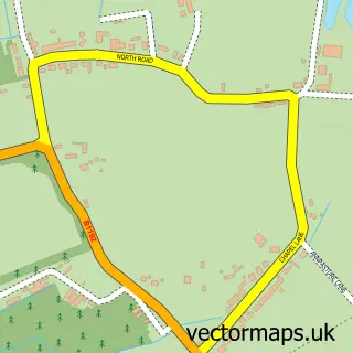
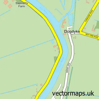
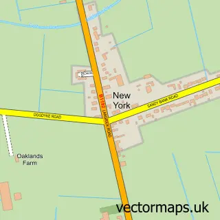
Nearby street map samples around Tattershall


More street maps in Lincolnshire
750 metre map area coverage
Boundary, postcode and point of interest information for the 750m x 750m rectangle centred on this sample map.
Boundaries containing map centre
Constituency: Louth and Horncastle Co Const
County: Lincolnshire County
District: East Lindsey District
Icb: NHS Lincolnshire ICB
Parish: Tattershall CP
Police Force: lincolnshire
Postcode District: LN4
Postcode Sector: LN4 4
Ward: Coningsby & Mareham Ward
Nearby boundaries intersecting sample
Parish: Coningsby CP
Postcode coverage
POI category counts
Holiday Rental Home: 9
Hotel: 3
Park: 3
Acupuncture: 2
Barber: 2
Beauty Salon: 2
Car Dealer: 2
Church Cathedral: 2
Coffee Shop: 2
Hair Salon: 2
Sample points of interest
- The Waterski Escape - At Tattershall Lakes
- Lindsey Vaughan Acupuncturists
- Lindsey Vaughan Acupuncturists
- Holy Trinity, Tattershall
- National Trust - Tattershall Castle
- Lets Create
- Tattershall College
- MOT Centre
- Granary Kitchen
- Hair Extensions salon
- Top Fade Barber
- Terracottas Tattershall
Create a larger editable map of Tattershall
This sample shows only a 750 metre area. To create a larger map of Tattershall, use our map builder to choose your own coverage area, add titles and download editable SVG, PDF and PNG files.
Create a custom map of Tattershall