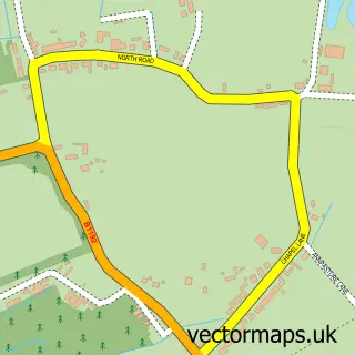
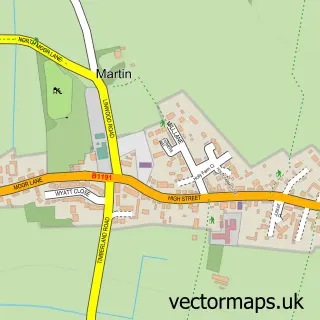
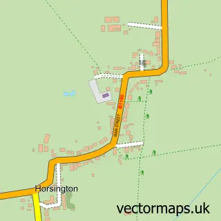
This Martin Dales street map is a detailed vector street map covering a 750m x 750m area. Select a larger area to create and download your own vector street map of Martin Dales.
The 750-metre map sample for Martin Dales covers 141 mapped buildings and approximately 7.0 km of road detail, of which 8 named roads are named. The immediate area includes 2 GP surgeries within 2 miles and 2 pubs. The wider area around Martin Dales features 1 tourism point of interest, 3 food and drink venues and 1 campsite within 2 miles. To create a larger or custom map of Martin Dales, the map builder lets you define your own coverage area and download editable SVG, PDF and PNG files.
Create a larger editable map of Martin Dales
Choose any area you need and generate a high-quality vector map instantly. Perfect for print, planning, design, business and personal use.

This Martin Dales street map in Lincolnshire is available as downloadable SVG, PDF and PNG map files, or as a printed map for planning, business, display, education, local information and design work. You can also create a larger custom map area using the map selector.
What this Martin Dales map sample shows
Martin Dales lies within Woodhall Spa Cp parish, part of Woodhall Spa ward in the East Lindsey District local authority area. The postcode geography for this area includes the LN postcode area, the LN10 postcode district and the LN10 6 postcode sector. Residents fall under the Nhs Lincolnshire Integrated Care Board for NHS services.
Local features near Martin Dales
Within 2 milesAmenities and services in and around Martin Dales.
Administrative and postcode information for Martin Dales
Martin Dales lies within Woodhall Spa Cp parish, part of Woodhall Spa ward in the East Lindsey District local authority area. The postcode geography for this area includes the LN postcode area, the LN10 postcode district and the LN10 6 postcode sector. Residents fall under the Nhs Lincolnshire Integrated Care Board for NHS services.
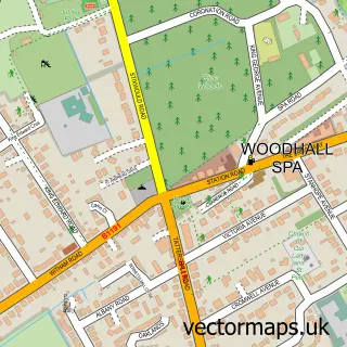
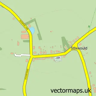
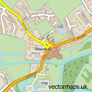
Nearby street map samples around Martin Dales

More street maps in Lincolnshire
750 metre map area coverage
Boundary, postcode and point of interest information for the 750m x 750m rectangle centred on this sample map.
Boundaries containing map centre
Constituency: Louth and Horncastle Co Const
County: Lincolnshire County
District: East Lindsey District
Icb: NHS Lincolnshire ICB
Parish: Woodhall Spa CP
Police Force: lincolnshire
Postcode District: LN10
Postcode Sector: LN10 6
Ward: Woodhall Spa Ward
Nearby boundaries intersecting sample
Constituency: Sleaford and North Hykeham Co Const
District: North Kesteven District
Parish: Martin CP
Ward: Billinghay Rural Ward
Postcode coverage
POI category counts
Gas Station: 5
Pub: 2
Shipping Center: 2
Cafe: 1
Car Dealer: 1
Carpet Store: 1
Construction Services: 1
Contractor: 1
Food Delivery Service: 1
Furniture Store: 1
Sample points of interest
- The Ragged Apron Cafe
- Smiths autos of horncaslte
- Floorless Floorings Ltd
- JP Design and Develop
- Taylor Pearson Construction
- Evri ParcelShop
- HOB Furniture
- Gulf
- J J's Garage
- JJ's Gulf Fuel Petrol Station and Automatic Car Wash
- SPAR JJ's Gulf Fuel Station
- TotalEnergies
Create a larger editable map of Martin Dales
This sample shows only a 750 metre area. To create a larger map of Martin Dales, use our map builder to choose your own coverage area, add titles and download editable SVG, PDF and PNG files.
Create a custom map of Martin Dales