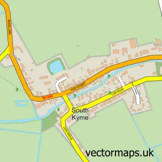
This North Kyme street map is a detailed vector street map covering a 750m x 750m area. Select a larger area to create and download your own vector street map of North Kyme.
The 750-metre map sample for North Kyme covers 147 mapped buildings and approximately 10.9 km of road detail, of which 4 named roads are named. The immediate area includes 1 GP surgery within 2 miles, 1 pub and 3 MOT stations within 2 miles. The wider area around North Kyme features 1 food and drink venue and 2 hotels. To create a larger or custom map of North Kyme, the map builder lets you define your own coverage area and download editable SVG, PDF and PNG files.
Create a larger editable map of North Kyme
Choose any area you need and generate a high-quality vector map instantly. Perfect for print, planning, design, business and personal use.

This North Kyme street map in Lincolnshire is available as downloadable SVG, PDF and PNG map files, or as a printed map for planning, business, display, education, local information and design work. You can also create a larger custom map area using the map selector.
What this North Kyme map sample shows
North Kyme lies within North Kyme Cp parish, part of Billinghay, Martin And North Kyme ward in the North Kesteven District local authority area. The postcode geography for this area includes the LN postcode area, the LN4 postcode district and the LN4 4 postcode sector. Residents fall under the Nhs Lincolnshire Integrated Care Board for NHS services.
Local features near North Kyme
Within 2 milesAmenities and services in and around North Kyme.
Administrative and postcode information for North Kyme
The local authority covering North Kyme is North Kesteven District, within the county of Lincolnshire. The settlement lies within Billinghay, Martin And North Kyme ward and North Kyme Cp civil parish. The LN4 postcode district and LN4 4 postcode sector serve the immediate area. NHS provision in the area is delivered through United Lincolnshire Hospitals Nhs Trust.
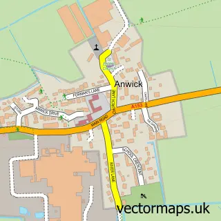
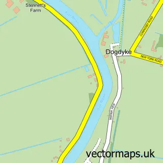
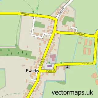
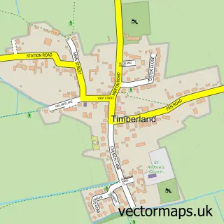
Nearby street map samples around North Kyme


More street maps in Lincolnshire
750 metre map area coverage
Boundary, postcode and point of interest information for the 750m x 750m rectangle centred on this sample map.
Boundaries containing map centre
Constituency: Sleaford and North Hykeham Co Const
County: Lincolnshire County
District: North Kesteven District
Icb: NHS Lincolnshire ICB
Parish: North Kyme CP
Police Force: lincolnshire
Postcode District: LN4
Postcode Sector: LN4 4
Ward: Billinghay Rural Ward
Nearby boundaries intersecting sample
No additional intersecting boundaries found.
Postcode coverage
POI category counts
Hotel: 2
Agricultural Service: 1
Anglican Church: 1
Church Cathedral: 1
Community Center: 1
Elementary School: 1
Forestry Service: 1
Freight And Cargo Service: 1
Furniture Store: 1
Indian Restaurant: 1
Sample points of interest
- The Burdens Group Ltd
- St Luke
- St lukes Church North kyme
- North Kyme Village Hall
- North Kyme Primary School
- H E Drury
- John Pocklington & Son
- Pinetree Garden Furniture & Buildings
- ATZ and H Inn
- OYO 4 Sisters Inn
- The Old Coach Tandoori
- Spartans Taekwondo
Create a larger editable map of North Kyme
This sample shows only a 750 metre area. To create a larger map of North Kyme, use our map builder to choose your own coverage area, add titles and download editable SVG, PDF and PNG files.
Create a custom map of North Kyme