This South Kyme street map is a detailed vector street map covering a 750m x 750m area. Select a larger area to create and download your own vector street map of South Kyme.
The 750-metre map sample for South Kyme covers 162 mapped buildings and approximately 9.2 km of road detail, of which 7 named roads are named. The immediate area includes 1 pub. The wider area around South Kyme features 1 food and drink venue. To create a larger or custom map of South Kyme, the map builder lets you define your own coverage area and download editable SVG, PDF and PNG files.
Create a larger editable map of South Kyme
Choose any area you need and generate a high-quality vector map instantly. Perfect for print, planning, design, business and personal use.

This South Kyme street map in Lincolnshire is available as downloadable SVG, PDF and PNG map files, or as a printed map for planning, business, display, education, local information and design work. You can also create a larger custom map area using the map selector.
What this South Kyme map sample shows
South Kyme lies within South Kyme Cp parish, part of Kirkby La Thorpe And South Kyme ward in the North Kesteven District local authority area. The postcode geography for this area includes the LN postcode area, the LN4 postcode district and the LN4 4 postcode sector. Residents fall under the Nhs Lincolnshire Integrated Care Board for NHS services.
Local features near South Kyme
Within 2 milesAmenities and services in and around South Kyme.
Administrative and postcode information for South Kyme
The local authority covering South Kyme is North Kesteven District, within the county of Lincolnshire. The settlement lies within Kirkby La Thorpe And South Kyme ward and South Kyme Cp civil parish. The LN4 postcode district and LN4 4 postcode sector serve the immediate area. NHS provision in the area is delivered through United Lincolnshire Hospitals Nhs Trust.
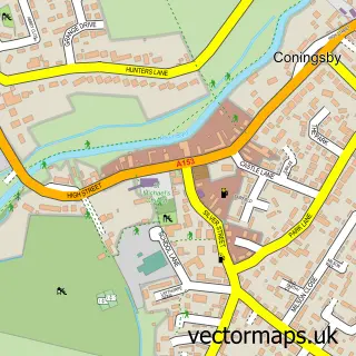
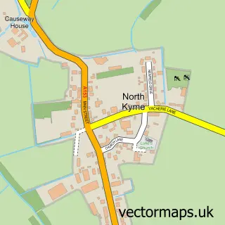
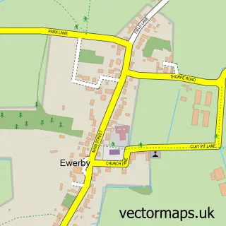
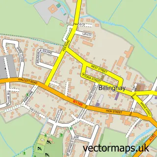
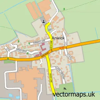
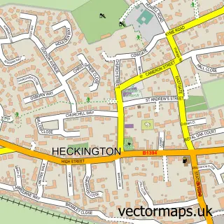
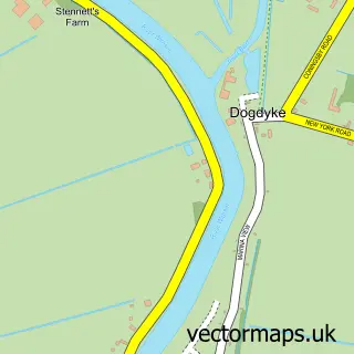
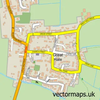
Nearby street map samples around South Kyme


More street maps in Lincolnshire
750 metre map area coverage
Boundary, postcode and point of interest information for the 750m x 750m rectangle centred on this sample map.
Boundaries containing map centre
Constituency: Sleaford and North Hykeham Co Const
County: Lincolnshire County
District: North Kesteven District
Icb: NHS Lincolnshire ICB
Parish: South Kyme CP
Police Force: lincolnshire
Postcode District: LN4
Postcode Sector: LN4 4
Ward: Kirkby la Thorpe & South Kyme Ward
Nearby boundaries intersecting sample
No additional intersecting boundaries found.
Postcode coverage
POI category counts
Architect: 2
Altering And Remodeling Contractor: 1
Building Supply Store: 1
Electrician: 1
Party Supply: 1
Pub: 1
Public And Government Association: 1
Retail: 1
Topic Concert Venue: 1
Sample points of interest
- VPS Lincolnshire
- GadARCH Design Services Ltd.
- GadARCH Design Services Ltd.
- Rural Pest Control
- Electrix Celutions Ltd.
- The Marvellous Marquee Company
- The Hume
- South Kyme Parish Council
- Linc Point of Sale
- Coronation Hall South Kyme
Create a larger editable map of South Kyme
This sample shows only a 750 metre area. To create a larger map of South Kyme, use our map builder to choose your own coverage area, add titles and download editable SVG, PDF and PNG files.
Create a custom map of South Kyme