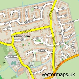
This Anwick street map is a detailed vector street map covering a 750m x 750m area. Select a larger area to create and download your own vector street map of Anwick.
The 750-metre map sample for Anwick covers 187 mapped buildings and approximately 9.1 km of road detail, of which 9 named roads are named. The wider area around Anwick features 1 tourism point of interest and 1 food and drink venue. To create a larger or custom map of Anwick, the map builder lets you define your own coverage area and download editable SVG, PDF and PNG files.
Create a larger editable map of Anwick
Choose any area you need and generate a high-quality vector map instantly. Perfect for print, planning, design, business and personal use.

This Anwick street map in Lincolnshire is available as downloadable SVG, PDF and PNG map files, or as a printed map for planning, business, display, education, local information and design work. You can also create a larger custom map area using the map selector.
What this Anwick map sample shows
Anwick lies within Anwick Cp parish, part of Kirkby La Thorpe And South Kyme ward in the North Kesteven District local authority area. The postcode geography for this area includes the NG postcode area, the NG34 postcode district and the NG34 9 postcode sector. Residents fall under the Nhs Lincolnshire Integrated Care Board for NHS services.
Local features near Anwick
Within 2 milesAmenities and services in and around Anwick.
Administrative and postcode information for Anwick
The local authority covering Anwick is North Kesteven District, within the county of Lincolnshire. The settlement lies within Kirkby La Thorpe And South Kyme ward and Anwick Cp civil parish. The NG34 postcode district and NG34 9 postcode sector serve the immediate area. NHS provision in the area is delivered through United Lincolnshire Hospitals Nhs Trust.
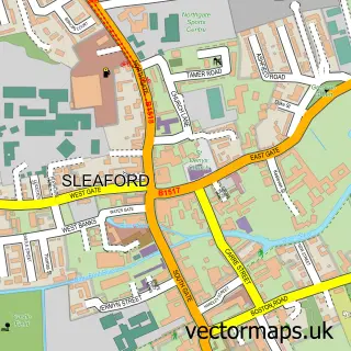
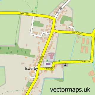
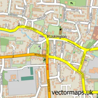
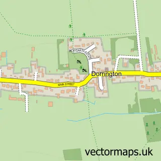
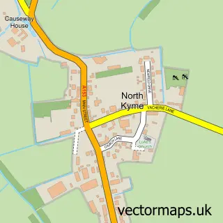
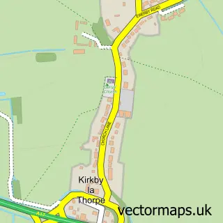
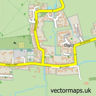
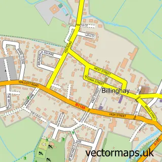
Nearby street map samples around Anwick

More street maps in Lincolnshire
750 metre map area coverage
Boundary, postcode and point of interest information for the 750m x 750m rectangle centred on this sample map.
Boundaries containing map centre
Constituency: Sleaford and North Hykeham Co Const
County: Lincolnshire County
District: North Kesteven District
Icb: NHS Lincolnshire ICB
Parish: Anwick CP
Police Force: lincolnshire
Postcode District: NG34
Postcode Sector: NG34 9
Ward: Kirkby la Thorpe & South Kyme Ward
Nearby boundaries intersecting sample
No additional intersecting boundaries found.
Postcode coverage
POI category counts
Nursery And Gardening: 2
Anglican Church: 1
Appliance Manufacturer: 1
Blacksmiths: 1
Car Dealer: 1
Coffee Shop: 1
Doctor: 1
Life Coach: 1
Package Locker: 1
Park: 1
Sample points of interest
- St Edith's, Anwick
- Allenby's of Anwick
- Anwick Forge Ltd.
- Anwick Car Sales
- Spire Coffee Shop
- Doulton Lodge Private Hospital
- Heal the Mind, Heal the Body
- Anwick Garden Centre
- J.Parker's Garden Centre Anwick
- InPost
- Moy Park
- Anwick Mobile Service Post Office
Create a larger editable map of Anwick
This sample shows only a 750 metre area. To create a larger map of Anwick, use our map builder to choose your own coverage area, add titles and download editable SVG, PDF and PNG files.
Create a custom map of Anwick