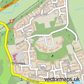
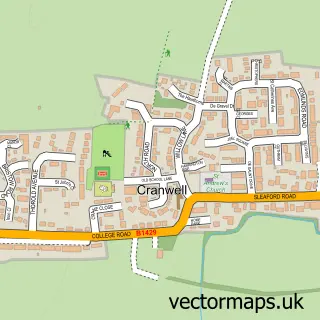
This Sleaford street map is a detailed vector street map covering a 750m x 750m area. Select a larger area to create and download your own vector street map of Sleaford.
The 750-metre map sample for Sleaford covers 337 mapped buildings and approximately 13.3 km of road detail, of which 31 named roads are named. The immediate area includes 2 primary schools and 3 secondary schools, 1 GP surgery, 8 pubs and 3 MOT stations, with 11 within 2 miles. The wider area around Sleaford features 7 tourism points of interest, 31 food and drink venues and 3 hotels. To create a larger or custom map of Sleaford, the map builder lets you define your own coverage area and download editable SVG, PDF and PNG files.
Create a larger editable map of Sleaford
Choose any area you need and generate a high-quality vector map instantly. Perfect for print, planning, design, business and personal use.

This Sleaford street map in Lincolnshire is available as downloadable SVG, PDF and PNG map files, or as a printed map for planning, business, display, education, local information and design work. You can also create a larger custom map area using the map selector.
What this Sleaford map sample shows
Sleaford lies within Sleaford Cp parish, part of Sleaford Westholme ward in the North Kesteven District local authority area. The postcode geography for this area includes the NG postcode area, the NG34 postcode district and the NG34 7 postcode sector. Residents fall under the Nhs Lincolnshire Integrated Care Board for NHS services.
Local features near Sleaford
Within 2 milesAmenities and services in and around Sleaford.
Administrative and postcode information for Sleaford
Sleaford lies within Sleaford Cp parish, part of Sleaford Westholme ward in the North Kesteven District local authority area. The postcode geography for this area includes the NG postcode area, the NG34 postcode district and the NG34 7 postcode sector. Residents fall under the Nhs Lincolnshire Integrated Care Board for NHS services.
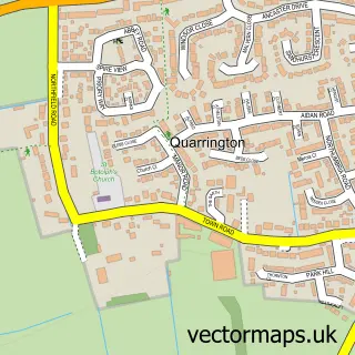
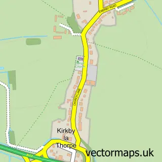
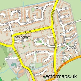
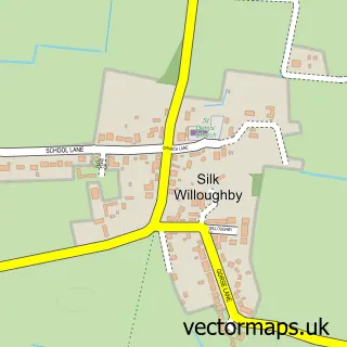
Nearby street map samples around Sleaford

More street maps in Lincolnshire
750 metre map area coverage
Boundary, postcode and point of interest information for the 750m x 750m rectangle centred on this sample map.
Boundaries containing map centre
Constituency: Sleaford and North Hykeham Co Const
County: Lincolnshire County
District: North Kesteven District
Icb: NHS Lincolnshire ICB
Parish: Sleaford CP
Police Force: lincolnshire
Postcode District: NG34
Postcode Sector: NG34 7
Ward: Sleaford Navigation Ward
Nearby boundaries intersecting sample
Ward: Sleaford Castle Ward, Sleaford Westholme Ward
Postcode coverage
POI category counts
Beauty Salon: 20
Hair Salon: 15
Barber: 13
Beauty And Spa: 12
Flowers And Gifts Shop: 12
Professional Services: 10
Real Estate Agent: 10
Banks: 9
Charity Organization: 9
Dentist: 9
Sample points of interest
- TaxAssist Accountants
- Sleaford Natural Health Centre
- Your Local Lincs
- Mark Cammiss Osteopath and Chiropodist
- Carre Emporium
- Yorkshire Trading Company
- Chris Lilley Architectural Services
- Rick Smith Design
- Carre Gallery
- Ruth Burrows Illustration
- The National Centre for Craft & Design
- Stitches N Print
Create a larger editable map of Sleaford
This sample shows only a 750 metre area. To create a larger map of Sleaford, use our map builder to choose your own coverage area, add titles and download editable SVG, PDF and PNG files.
Create a custom map of Sleaford