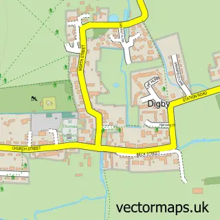
This Cranwell street map is a detailed vector street map covering a 750m x 750m area. Select a larger area to create and download your own vector street map of Cranwell.
The 750-metre map sample for Cranwell covers 287 mapped buildings and approximately 8.8 km of road detail, of which 27 named roads are named. The wider area around Cranwell features 1 food and drink venue and 2 hotels. To create a larger or custom map of Cranwell, the map builder lets you define your own coverage area and download editable SVG, PDF and PNG files.
Create a larger editable map of Cranwell
Choose any area you need and generate a high-quality vector map instantly. Perfect for print, planning, design, business and personal use.

This Cranwell street map in Lincolnshire is available as downloadable SVG, PDF and PNG map files, or as a printed map for planning, business, display, education, local information and design work. You can also create a larger custom map area using the map selector.
What this Cranwell map sample shows
Cranwell lies within Cranwell, Brauncewell And Byard's Leap Cp parish, part of Ashby De La Launde And Cranwell ward in the North Kesteven District local authority area. The postcode geography for this area includes the NG postcode area, the NG34 postcode district and the NG34 8 postcode sector. Residents fall under the Nhs Lincolnshire Integrated Care Board for NHS services.
Local features near Cranwell
Within 2 milesAmenities and services in and around Cranwell.
Administrative and postcode information for Cranwell
The local authority covering Cranwell is North Kesteven District, within the county of Lincolnshire. The settlement lies within Ashby De La Launde And Cranwell ward and Cranwell, Brauncewell And Byard's Leap Cp civil parish. The NG34 postcode district and NG34 8 postcode sector serve the immediate area. NHS provision in the area is delivered through United Lincolnshire Hospitals Nhs Trust.
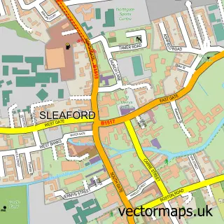
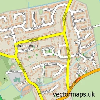
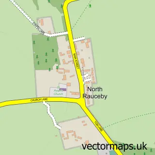
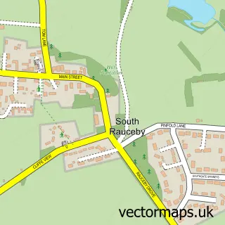
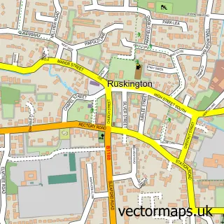
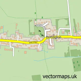
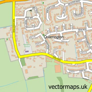
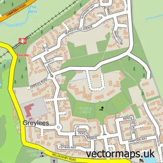
Nearby street map samples around Cranwell

More street maps in Lincolnshire
750 metre map area coverage
Boundary, postcode and point of interest information for the 750m x 750m rectangle centred on this sample map.
Boundaries containing map centre
Constituency: Sleaford and North Hykeham Co Const
County: Lincolnshire County
District: North Kesteven District
Icb: NHS Lincolnshire ICB
Parish: Cranwell, Brauncewell and Byard's Leap CP
Police Force: lincolnshire
Postcode District: NG34
Postcode Sector: NG34 8
Ward: Cranwell, Leasingham & Wilsford Ward
Nearby boundaries intersecting sample
No additional intersecting boundaries found.
Postcode coverage
POI category counts
Hotel: 2
Shipping Center: 2
Anglican Church: 1
Arts And Crafts: 1
Beauty And Spa: 1
Bed And Breakfast: 1
Cafe: 1
Community Center: 1
Currency Exchange: 1
Education: 1
Sample points of interest
- St Andrew's, Cranwell Village
- Blue Plume Picture Framing
- The Style Room
- Oxenford Farm
- The Willows Tearoom Ltd
- Cranwell Village Hall
- Post Office Travel Money
- Pulse
- PULSE Education & Business Services
- The Willows Country Store
- Bella Holiday Cottages
- The Coach House - Holiday Let
Create a larger editable map of Cranwell
This sample shows only a 750 metre area. To create a larger map of Cranwell, use our map builder to choose your own coverage area, add titles and download editable SVG, PDF and PNG files.
Create a custom map of Cranwell