This Ruskington street map is a detailed vector street map covering a 750m x 750m area. Select a larger area to create and download your own vector street map of Ruskington.
The 750-metre map sample for Ruskington covers 620 mapped buildings and approximately 17.2 km of road detail, of which 40 named roads are named. The immediate area includes 2 schools, 1 GP surgery within 2 miles, 4 pubs and 1 MOT station. The wider area around Ruskington features 1 tourism point of interest and 7 food and drink venues. To create a larger or custom map of Ruskington, the map builder lets you define your own coverage area and download editable SVG, PDF and PNG files.
Create a larger editable map of Ruskington
Choose any area you need and generate a high-quality vector map instantly. Perfect for print, planning, design, business and personal use.

This Ruskington street map in Lincolnshire is available as downloadable SVG, PDF and PNG map files, or as a printed map for planning, business, display, education, local information and design work. You can also create a larger custom map area using the map selector.
What this Ruskington map sample shows
Ruskington lies within Ruskington Cp parish, part of Ruskington ward in the North Kesteven District local authority area. The postcode geography for this area includes the NG postcode area, the NG34 postcode district and the NG34 9 postcode sector. Residents fall under the Nhs Lincolnshire Integrated Care Board for NHS services.
Local features near Ruskington
Within 2 milesAmenities and services in and around Ruskington.
Administrative and postcode information for Ruskington
Ruskington lies within Ruskington Cp parish, part of Ruskington ward in the North Kesteven District local authority area. The postcode geography for this area includes the NG postcode area, the NG34 postcode district and the NG34 9 postcode sector. Residents fall under the Nhs Lincolnshire Integrated Care Board for NHS services.
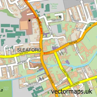
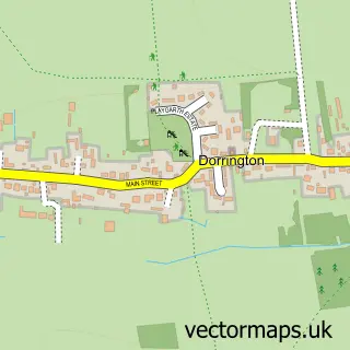
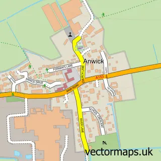
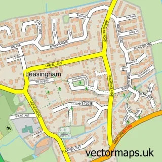
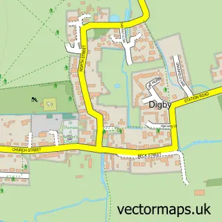
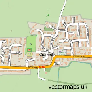
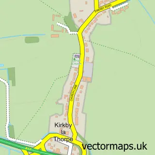
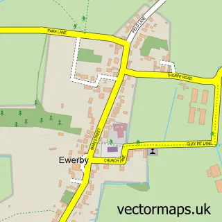
Nearby street map samples around Ruskington

More street maps in Lincolnshire
750 metre map area coverage
Boundary, postcode and point of interest information for the 750m x 750m rectangle centred on this sample map.
Boundaries containing map centre
Constituency: Sleaford and North Hykeham Co Const
County: Lincolnshire County
District: North Kesteven District
Icb: NHS Lincolnshire ICB
Parish: Ruskington CP
Police Force: lincolnshire
Postcode District: NG34
Postcode Sector: NG34 9
Ward: Ruskington Ward
Nearby boundaries intersecting sample
No additional intersecting boundaries found.
Postcode coverage
POI category counts
Convenience Store: 6
Beauty And Spa: 5
Church Cathedral: 4
Pub: 4
Butcher Shop: 3
Hair Salon: 3
Optometrist: 3
Police Department: 3
Automotive Repair: 2
Bakery: 2
Sample points of interest
- Ruskington Lions Junior Football Club
- All Saints, Ruskington
- S C Domestic Appliances
- Cherry Tree Lodge
- Lincolnshire Co-op - Ruskington (001043) (Swap), Ruskington
- Parkfield Road Playing Field
- Motor & Diesel Engineering Anglia
- Ruskington Bodyshop
- J & J Southern
- J & J Southern Bakers Ruskington
- Nationwide Building Society
- Ducktail Barbers
Create a larger editable map of Ruskington
This sample shows only a 750 metre area. To create a larger map of Ruskington, use our map builder to choose your own coverage area, add titles and download editable SVG, PDF and PNG files.
Create a custom map of Ruskington