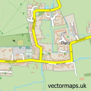
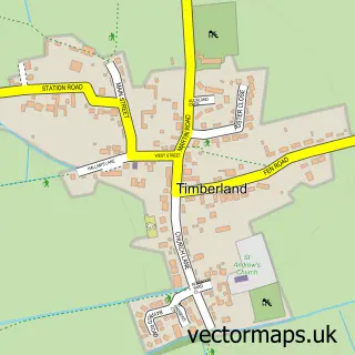
This Dorrington street map is a detailed vector street map covering a 750m x 750m area. Select a larger area to create and download your own vector street map of Dorrington.
The 750-metre map sample for Dorrington covers 152 mapped buildings and approximately 3.5 km of road detail, of which 3 named roads are named. The immediate area includes 1 GP surgery within 2 miles and 1 MOT station within 2 miles. The wider area around Dorrington features 1 tourism point of interest. To create a larger or custom map of Dorrington, the map builder lets you define your own coverage area and download editable SVG, PDF and PNG files.
Create a larger editable map of Dorrington
Choose any area you need and generate a high-quality vector map instantly. Perfect for print, planning, design, business and personal use.

This Dorrington street map in Lincolnshire is available as downloadable SVG, PDF and PNG map files, or as a printed map for planning, business, display, education, local information and design work. You can also create a larger custom map area using the map selector.
What this Dorrington map sample shows
Dorrington lies within Dorrington Cp parish, part of Ashby De La Launde And Cranwell ward in the North Kesteven District local authority area. The postcode geography for this area includes the LN postcode area, the LN4 postcode district and the LN4 3 postcode sector. Residents fall under the Nhs Lincolnshire Integrated Care Board for NHS services.
Local features near Dorrington
Within 2 milesAmenities and services in and around Dorrington.
Administrative and postcode information for Dorrington
Dorrington lies within Dorrington Cp parish, part of Ashby De La Launde And Cranwell ward in the North Kesteven District local authority area. The postcode geography for this area includes the LN postcode area, the LN4 postcode district and the LN4 3 postcode sector. Residents fall under the Nhs Lincolnshire Integrated Care Board for NHS services.
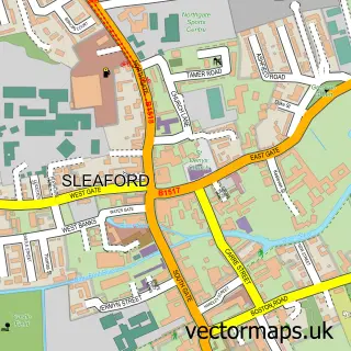
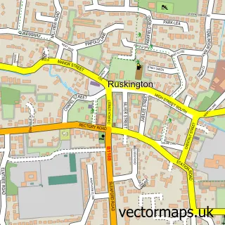
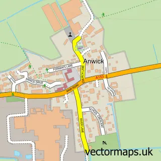
Nearby street map samples around Dorrington

More street maps in Lincolnshire
750 metre map area coverage
Boundary, postcode and point of interest information for the 750m x 750m rectangle centred on this sample map.
Boundaries containing map centre
Constituency: Sleaford and North Hykeham Co Const
County: Lincolnshire County
District: North Kesteven District
Icb: NHS Lincolnshire ICB
Parish: Dorrington CP
Police Force: lincolnshire
Postcode District: LN4
Postcode Sector: LN4 3
Ward: Ashby de la Launde, Digby & Scopwick Ward
Nearby boundaries intersecting sample
No additional intersecting boundaries found.
Postcode coverage
POI category counts
Flowers And Gifts Shop: 2
Auto Detailing: 1
Butcher Shop: 1
Key And Locksmith: 1
Landmark And Historical Building: 1
Venue And Event Space: 1
Sample points of interest
- ABDetails
- Picks Butchers
- Indigo Blooms
- Red Shark Design Ltd
- Inhouse Locksmiths (Lincoln)
- Dorrington, Lincolnshire
- Face Painting by Felicity
Create a larger editable map of Dorrington
This sample shows only a 750 metre area. To create a larger map of Dorrington, use our map builder to choose your own coverage area, add titles and download editable SVG, PDF and PNG files.
Create a custom map of Dorrington