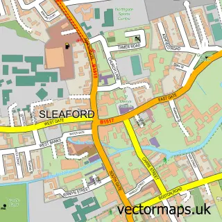
This Quarrington street map is a detailed vector street map covering a 750m x 750m area. Select a larger area to create and download your own vector street map of Quarrington.
The 750-metre map sample for Quarrington covers 499 mapped buildings and approximately 13.2 km of road detail, of which 30 named roads are named. The immediate area includes 1 GP surgery within 2 miles and 11 MOT stations within 2 miles. The wider area around Quarrington features 1 tourism point of interest. To create a larger or custom map of Quarrington, the map builder lets you define your own coverage area and download editable SVG, PDF and PNG files.
Create a larger editable map of Quarrington
Choose any area you need and generate a high-quality vector map instantly. Perfect for print, planning, design, business and personal use.

This Quarrington street map in Lincolnshire is available as downloadable SVG, PDF and PNG map files, or as a printed map for planning, business, display, education, local information and design work. You can also create a larger custom map area using the map selector.
What this Quarrington map sample shows
Quarrington lies within Sleaford Cp parish, part of Sleaford Quarrington And Mareham ward in the North Kesteven District local authority area. The postcode geography for this area includes the NG postcode area, the NG34 postcode district and the NG34 8 postcode sector. Residents fall under the Nhs Lincolnshire Integrated Care Board for NHS services.
Local features near Quarrington
Within 2 milesAmenities and services in and around Quarrington.
Administrative and postcode information for Quarrington
The local authority covering Quarrington is North Kesteven District, within the county of Lincolnshire. The settlement lies within Sleaford Quarrington And Mareham ward and Sleaford Cp civil parish. The NG34 postcode district and NG34 8 postcode sector serve the immediate area. NHS provision in the area is delivered through United Lincolnshire Hospitals Nhs Trust.
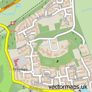
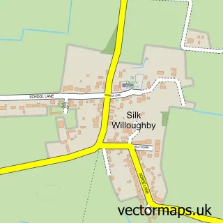
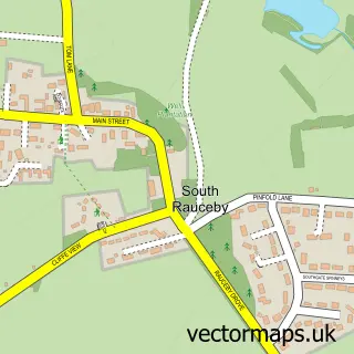
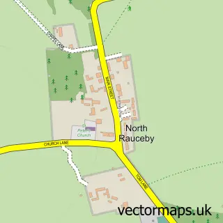
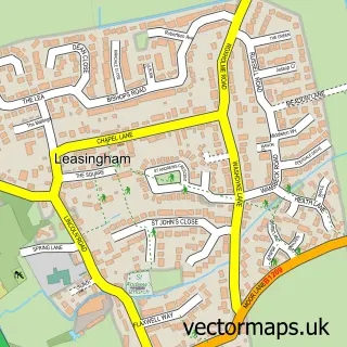
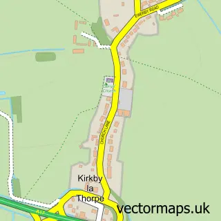
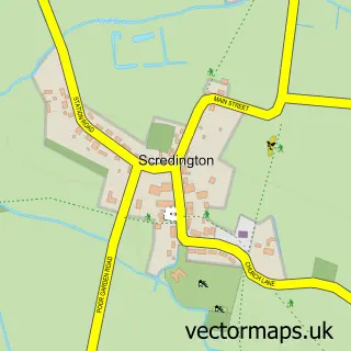
Nearby street map samples around Quarrington


More street maps in Lincolnshire
750 metre map area coverage
Boundary, postcode and point of interest information for the 750m x 750m rectangle centred on this sample map.
Boundaries containing map centre
Constituency: Sleaford and North Hykeham Co Const
County: Lincolnshire County
District: North Kesteven District
Icb: NHS Lincolnshire ICB
Parish: Sleaford CP
Police Force: lincolnshire
Postcode District: NG34
Postcode Sector: NG34 8
Ward: Sleaford Quarrington & Mareham Ward
Nearby boundaries intersecting sample
Postcode Sector: NG34 7
Postcode coverage
POI category counts
Building Supply Store: 2
Dog Walkers: 2
It Service And Computer Repair: 2
Church Cathedral: 1
Electrician: 1
Elementary School: 1
Farm: 1
Home Cleaning: 1
Kids Recreation And Party: 1
Landmark And Historical Building: 1
Sample points of interest
- Graffoe Plumbers
- Mountain Skip Hire
- St Botolph's Church
- We Love Pets
- We Love Pets Sleaford
- Reetec Electrical Services
- Sleaford Maths Tutor
- M.C.Mountain & Son Ltd.
- Sprinkles and Sparkles
- Prowebs
- Solutions 4 Sure
- Quarrington Stables
Create a larger editable map of Quarrington
This sample shows only a 750 metre area. To create a larger map of Quarrington, use our map builder to choose your own coverage area, add titles and download editable SVG, PDF and PNG files.
Create a custom map of Quarrington