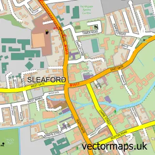
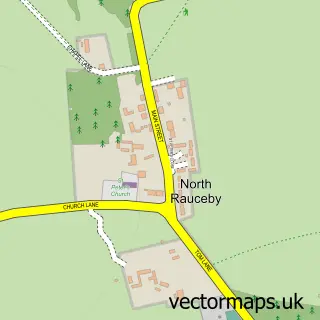
This Greylees street map is a detailed vector street map covering a 750m x 750m area. Select a larger area to create and download your own vector street map of Greylees.
The 750-metre map sample for Greylees covers 352 mapped buildings and approximately 15.7 km of road detail, of which 20 named roads are named. The immediate area includes 1 railway station and 2 MOT stations within 2 miles. The wider area around Greylees features 1 food and drink venue. To create a larger or custom map of Greylees, the map builder lets you define your own coverage area and download editable SVG, PDF and PNG files.
Create a larger editable map of Greylees
Choose any area you need and generate a high-quality vector map instantly. Perfect for print, planning, design, business and personal use.

This Greylees street map in Lincolnshire is available as downloadable SVG, PDF and PNG map files, or as a printed map for planning, business, display, education, local information and design work. You can also create a larger custom map area using the map selector.
What this Greylees map sample shows
Greylees lies within Sleaford Cp parish, part of Sleaford Quarrington And Mareham ward in the North Kesteven District local authority area. The postcode geography for this area includes the NG postcode area, the NG34 postcode district and the NG34 8 postcode sector. Residents fall under the Nhs Lincolnshire Integrated Care Board for NHS services.
Local features near Greylees
Within 2 milesAmenities and services in and around Greylees.
Administrative and postcode information for Greylees
Greylees lies within Sleaford Cp parish, part of Sleaford Quarrington And Mareham ward in the North Kesteven District local authority area. The postcode geography for this area includes the NG postcode area, the NG34 postcode district and the NG34 8 postcode sector. Residents fall under the Nhs Lincolnshire Integrated Care Board for NHS services.
Nearby street map samples around Greylees

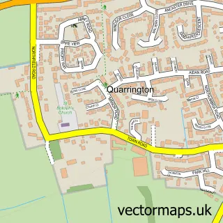
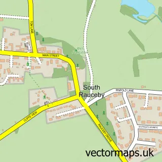
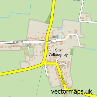

More street maps in Lincolnshire
750 metre map area coverage
Boundary, postcode and point of interest information for the 750m x 750m rectangle centred on this sample map.
Boundaries containing map centre
Constituency: Sleaford and North Hykeham Co Const
County: Lincolnshire County
District: North Kesteven District
Icb: NHS Lincolnshire ICB
Parish: Sleaford CP
Police Force: lincolnshire
Postcode District: NG34
Postcode Sector: NG34 8
Ward: Sleaford Quarrington & Mareham Ward
Nearby boundaries intersecting sample
Constituency: Grantham and Bourne Co Const
Parish: Silk Willoughby CP, South Rauceby CP, Wilsford CP
Ward: Cranwell, Leasingham & Wilsford Ward, Helpringham & Osbournby Ward
Postcode coverage
POI category counts
Automotive Repair: 2
Bar: 2
Education: 2
Hospital: 2
Nursing School: 2
Train Station: 2
Accommodation: 1
Accountant: 1
Active Life: 1
Aromatherapy: 1
Sample points of interest
- Greylees!
- Payserve Ltd
- Sleaford Golf Club Pro Shop
- Jones Scents & Co.
- CWS Mobile Mechanics
- CWS Mobile Mechanics
- HellFire Custom Tuning
- The Duke
- The Oasis
- Ash Villa School
- Bright Physical Education Ltd.
- Little Sparkles Childminding
Create a larger editable map of Greylees
This sample shows only a 750 metre area. To create a larger map of Greylees, use our map builder to choose your own coverage area, add titles and download editable SVG, PDF and PNG files.
Create a custom map of Greylees