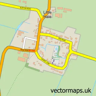
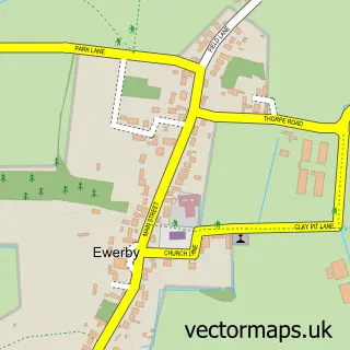
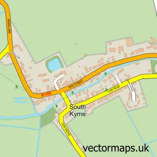
This Great Hale street map is a detailed vector street map covering a 750m x 750m area. Select a larger area to create and download your own vector street map of Great Hale.
The 750-metre map sample for Great Hale covers 354 mapped buildings and approximately 13.5 km of road detail, of which 21 named roads are named. The immediate area includes 1 GP surgery within 2 miles and 1 MOT station, with 4 within 2 miles. The wider area around Great Hale features 1 food and drink venue. To create a larger or custom map of Great Hale, the map builder lets you define your own coverage area and download editable SVG, PDF and PNG files.
Create a larger editable map of Great Hale
Choose any area you need and generate a high-quality vector map instantly. Perfect for print, planning, design, business and personal use.

This Great Hale street map in Lincolnshire is available as downloadable SVG, PDF and PNG map files, or as a printed map for planning, business, display, education, local information and design work. You can also create a larger custom map area using the map selector.
What this Great Hale map sample shows
Great Hale lies within Great Hale Cp parish, part of Heckington Rural ward in the North Kesteven District local authority area. The postcode geography for this area includes the NG postcode area, the NG34 postcode district and the NG34 9 postcode sector. Residents fall under the Nhs Lincolnshire Integrated Care Board for NHS services.
Local features near Great Hale
Within 2 milesAmenities and services in and around Great Hale.
Administrative and postcode information for Great Hale
Great Hale lies within Great Hale Cp parish, part of Heckington Rural ward in the North Kesteven District local authority area. The postcode geography for this area includes the NG postcode area, the NG34 postcode district and the NG34 9 postcode sector. Residents fall under the Nhs Lincolnshire Integrated Care Board for NHS services.
Nearby street map samples around Great Hale

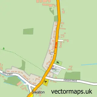
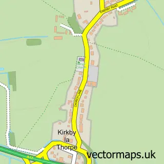
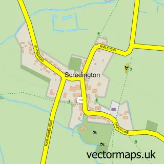
More street maps in Lincolnshire
750 metre map area coverage
Boundary, postcode and point of interest information for the 750m x 750m rectangle centred on this sample map.
Boundaries containing map centre
Constituency: Grantham and Bourne Co Const
County: Lincolnshire County
District: North Kesteven District
Icb: NHS Lincolnshire ICB
Parish: Great Hale CP
Police Force: lincolnshire
Postcode District: NG34
Postcode Sector: NG34 9
Ward: Heckington Rural Ward
Nearby boundaries intersecting sample
Parish: Heckington CP
Postcode coverage
POI category counts
Automotive Repair: 3
Alternative Medicine: 1
Anglican Church: 1
Beach Equipment Rentals: 1
Beauty Product Supplier: 1
Business Management Services: 1
Church Cathedral: 1
Community Center: 1
Construction Services: 1
Doctor: 1
Sample points of interest
- Kesteven Natural Health Centre
- St John the Baptist
- Forge Garage
- N B Fabrications
- The Forge Garage
- Geoff Cooke Jcb Plant And Digger Hire
- Beauty & Beyond
- The Old Stable
- St John the Baptist's Church
- Hale Magna Village Hall
- S E Hill ltd
- Lydias Holistic Therapies
Create a larger editable map of Great Hale
This sample shows only a 750 metre area. To create a larger map of Great Hale, use our map builder to choose your own coverage area, add titles and download editable SVG, PDF and PNG files.
Create a custom map of Great Hale