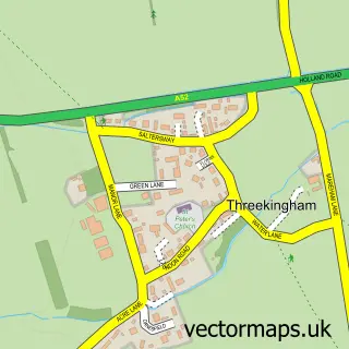
This Helpringham street map is a detailed vector street map covering a 750m x 750m area. Select a larger area to create and download your own vector street map of Helpringham.
The 750-metre map sample for Helpringham covers 379 mapped buildings and approximately 16.6 km of road detail, of which 22 named roads are named. The immediate area includes 1 school, 1 pub and 1 MOT station, with 4 within 2 miles. The wider area around Helpringham features 3 food and drink venues. To create a larger or custom map of Helpringham, the map builder lets you define your own coverage area and download editable SVG, PDF and PNG files.
Create a larger editable map of Helpringham
Choose any area you need and generate a high-quality vector map instantly. Perfect for print, planning, design, business and personal use.

This Helpringham street map in Lincolnshire is available as downloadable SVG, PDF and PNG map files, or as a printed map for planning, business, display, education, local information and design work. You can also create a larger custom map area using the map selector.
What this Helpringham map sample shows
Helpringham lies within Helpringham Cp parish, part of Heckington Rural ward in the North Kesteven District local authority area. The postcode geography for this area includes the NG postcode area, the NG34 postcode district and the NG34 0 postcode sector. Residents fall under the Nhs Lincolnshire Integrated Care Board for NHS services.
Local features near Helpringham
Within 2 milesAmenities and services in and around Helpringham.
Administrative and postcode information for Helpringham
Helpringham lies within Helpringham Cp parish, part of Heckington Rural ward in the North Kesteven District local authority area. The postcode geography for this area includes the NG postcode area, the NG34 postcode district and the NG34 0 postcode sector. Residents fall under the Nhs Lincolnshire Integrated Care Board for NHS services.
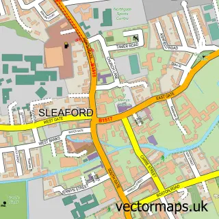
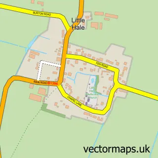
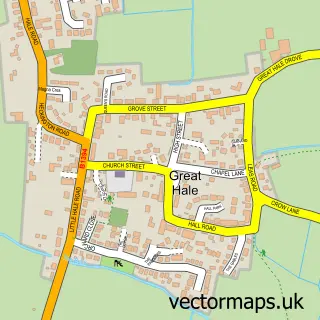
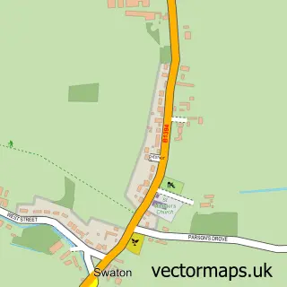
Nearby street map samples around Helpringham

More street maps in Lincolnshire
750 metre map area coverage
Boundary, postcode and point of interest information for the 750m x 750m rectangle centred on this sample map.
Boundaries containing map centre
Constituency: Grantham and Bourne Co Const
County: Lincolnshire County
District: North Kesteven District
Icb: NHS Lincolnshire ICB
Parish: Helpringham CP
Police Force: lincolnshire
Postcode District: NG34
Postcode Sector: NG34 0
Ward: Helpringham & Osbournby Ward
Nearby boundaries intersecting sample
Parish: Little Hale CP
Postcode Sector: NG34 9
Ward: Heckington Rural Ward
Postcode coverage
POI category counts
Building Supply Store: 2
Contractor: 2
Travel Agents: 2
Anglican Church: 1
Architectural Designer: 1
Automotive Parts And Accessories: 1
Automotive Repair: 1
Bar: 1
Beauty And Spa: 1
Coffee Shop: 1
Sample points of interest
- St Andrew's, Helpringham
- Robert Doughty Consultancy
- LightenUPgrade
- Phil O'Neill Auto Electrical
- The Brass Windmill
- Organic Beauty Inside Out
- A Star Carpet and Upholstery Cleaning
- Deco-rite
- Helpringham Community Cafe
- Helpringham Memorial Hall
- Haileswoodlets
- Ladybird Homes and Construction
Create a larger editable map of Helpringham
This sample shows only a 750 metre area. To create a larger map of Helpringham, use our map builder to choose your own coverage area, add titles and download editable SVG, PDF and PNG files.
Create a custom map of Helpringham