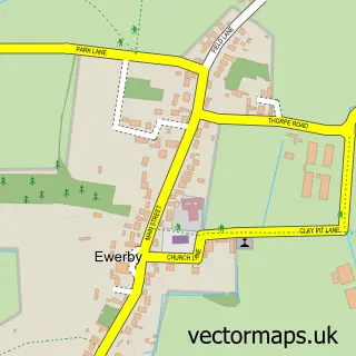
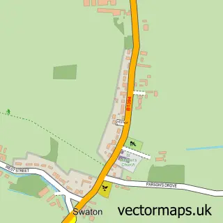
This Heckington street map is a detailed vector street map covering a 750m x 750m area. Select a larger area to create and download your own vector street map of Heckington.
The 750-metre map sample for Heckington covers 673 mapped buildings and approximately 16.9 km of road detail, of which 40 named roads are named. The immediate area includes 1 GP surgery within 2 miles, 3 pubs and 1 MOT station, with 3 within 2 miles. The wider area around Heckington features 7 food and drink venues. To create a larger or custom map of Heckington, the map builder lets you define your own coverage area and download editable SVG, PDF and PNG files.
Create a larger editable map of Heckington
Choose any area you need and generate a high-quality vector map instantly. Perfect for print, planning, design, business and personal use.

This Heckington street map in Lincolnshire is available as downloadable SVG, PDF and PNG map files, or as a printed map for planning, business, display, education, local information and design work. You can also create a larger custom map area using the map selector.
What this Heckington map sample shows
Heckington lies within Heckington Cp parish, part of Heckington Rural ward in the North Kesteven District local authority area. The postcode geography for this area includes the NG postcode area, the NG34 postcode district and the NG34 9 postcode sector. Residents fall under the Nhs Lincolnshire Integrated Care Board for NHS services.
Local features near Heckington
Within 2 milesAmenities and services in and around Heckington.
Administrative and postcode information for Heckington
Heckington lies within Heckington Cp parish, part of Heckington Rural ward in the North Kesteven District local authority area. The postcode geography for this area includes the NG postcode area, the NG34 postcode district and the NG34 9 postcode sector. Residents fall under the Nhs Lincolnshire Integrated Care Board for NHS services.
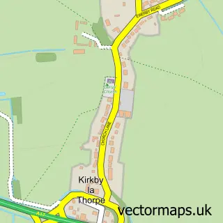
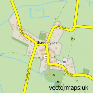
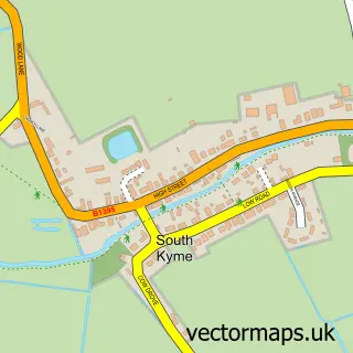
Nearby street map samples around Heckington

More street maps in Lincolnshire
750 metre map area coverage
Boundary, postcode and point of interest information for the 750m x 750m rectangle centred on this sample map.
Boundaries containing map centre
Constituency: Grantham and Bourne Co Const
County: Lincolnshire County
District: North Kesteven District
Icb: NHS Lincolnshire ICB
Parish: Heckington CP
Police Force: lincolnshire
Postcode District: NG34
Postcode Sector: NG34 9
Ward: Heckington Rural Ward
Nearby boundaries intersecting sample
No additional intersecting boundaries found.
Postcode coverage
POI category counts
Convenience Store: 6
Beauty Salon: 4
Hair Salon: 3
Pub: 3
Antique Store: 2
Automotive Repair: 2
Bakery: 2
Beauty And Spa: 2
Butcher Shop: 2
Coffee Shop: 2
Sample points of interest
- St Andrew's Church, Heckington
- Antique, Rustic & Second hand items , Ruskington , Sleaford
- GoodFinds
- Heckington War Memorial
- Lincolnshire Co-op - Heckington (001038), Heckington
- Traxx Detailing
- S.A.M.S
- Sleaford Mini Centre
- Scooby Cakes
- The Green Tea Room Heckington
- Lloyds Bank
- Pete’s Bar Heckington
Create a larger editable map of Heckington
This sample shows only a 750 metre area. To create a larger map of Heckington, use our map builder to choose your own coverage area, add titles and download editable SVG, PDF and PNG files.
Create a custom map of Heckington