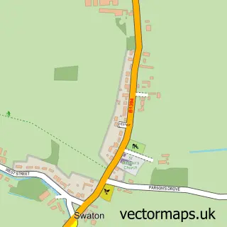
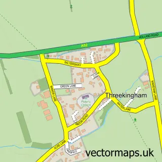
This Horbling street map is a detailed vector street map covering a 750m x 750m area. Select a larger area to create and download your own vector street map of Horbling.
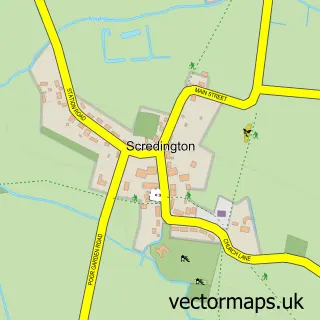
The 750-metre map sample for Horbling covers 205 mapped buildings and approximately 15.1 km of road detail, of which 12 named roads are named. The immediate area includes 1 school, 1 GP surgery within 2 miles, 2 pubs and 1 MOT station within 2 miles. The wider area around Horbling features 2 food and drink venues. To create a larger or custom map of Horbling, the map builder lets you define your own coverage area and download editable SVG, PDF and PNG files.
Create a larger editable map of Horbling
Choose any area you need and generate a high-quality vector map instantly. Perfect for print, planning, design, business and personal use.

This Horbling street map in Lincolnshire is available as downloadable SVG, PDF and PNG map files, or as a printed map for planning, business, display, education, local information and design work. You can also create a larger custom map area using the map selector.
What this Horbling map sample shows
Horbling lies within Horbling Cp parish, part of Toller ward in the South Kesteven District local authority area. The postcode geography for this area includes the NG postcode area, the NG34 postcode district and the NG34 0 postcode sector. Residents fall under the Nhs Lincolnshire Integrated Care Board for NHS services.
Local features near Horbling
Within 2 milesAmenities and services in and around Horbling.
Administrative and postcode information for Horbling
Horbling lies within Horbling Cp parish, part of Toller ward in the South Kesteven District local authority area. The postcode geography for this area includes the NG postcode area, the NG34 postcode district and the NG34 0 postcode sector. Residents fall under the Nhs Lincolnshire Integrated Care Board for NHS services.
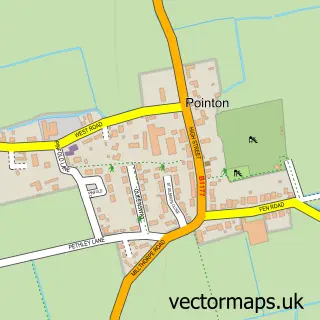
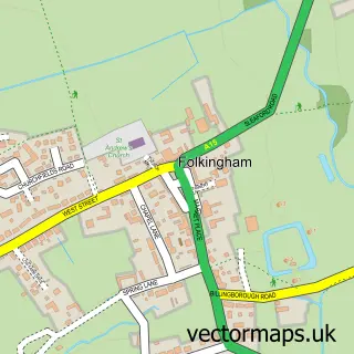
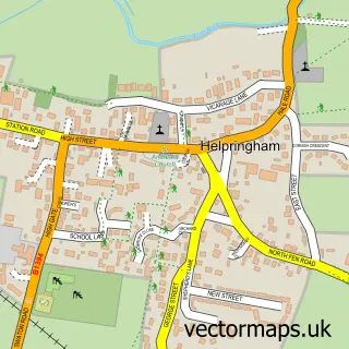
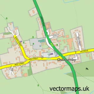
Nearby street map samples around Horbling

More street maps in Lincolnshire
750 metre map area coverage
Boundary, postcode and point of interest information for the 750m x 750m rectangle centred on this sample map.
Boundaries containing map centre
Constituency: Grantham and Bourne Co Const
County: Lincolnshire County
District: South Kesteven District
Icb: NHS Lincolnshire ICB
Parish: Horbling CP
Police Force: lincolnshire
Postcode District: NG34
Postcode Sector: NG34 0
Ward: Toller Ward
Nearby boundaries intersecting sample
No additional intersecting boundaries found.
Postcode coverage
POI category counts
Pub: 2
Scout Hall: 2
Anglican Church: 1
Art Gallery: 1
Bus Rentals: 1
Elementary School: 1
Farm: 1
Kids Recreation And Party: 1
Taxi Service: 1
Sample points of interest
- St Andrew
- NCCD Creative Young Minds
- Echo Coaches
- Brown's C of E Primary School
- Abbotts Farm
- Reach Higher Personal Training
- Plough Inn
- The Plough Inn
- Horbling and Billingborough
- Stamford And Bourne - Horbling & Billingborough ESU
- Robins Private Hire
Create a larger editable map of Horbling
This sample shows only a 750 metre area. To create a larger map of Horbling, use our map builder to choose your own coverage area, add titles and download editable SVG, PDF and PNG files.
Create a custom map of Horbling